Diary Entry
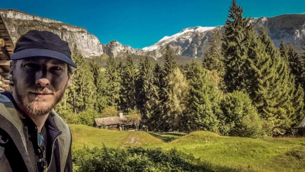
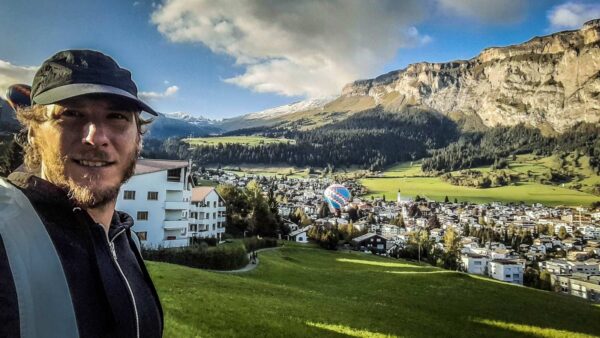
During my motorcycle tour through Italy and the Engadine, I stopped in Flims. My aunt still has my grandmother’s apartment there that I can go to.
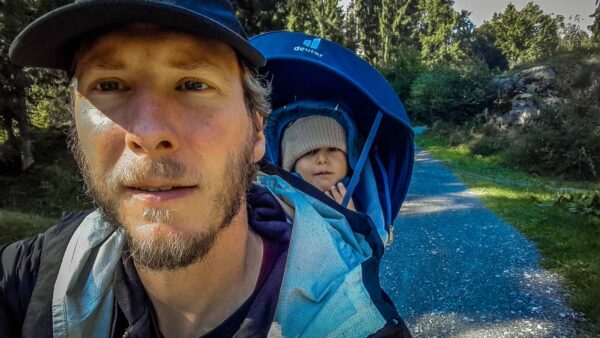
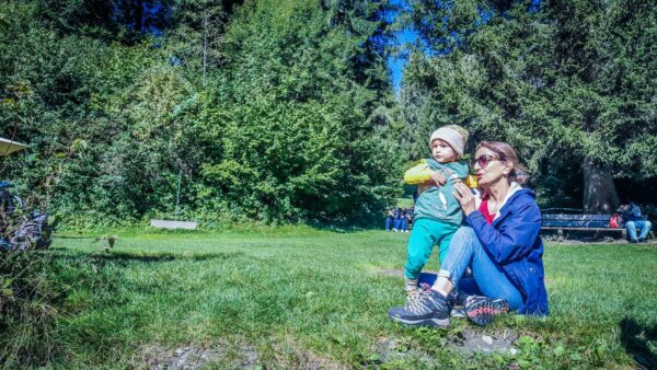
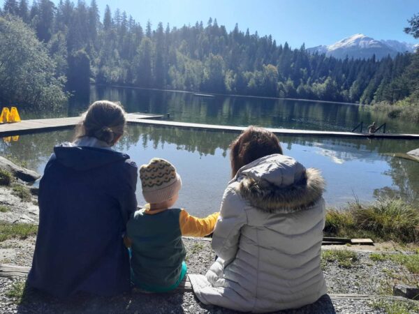
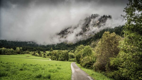
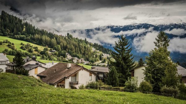
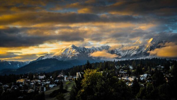
In the meantime, Sara and Leon also come over. But then the weather turns unmerciful. It’s getting cold and even snow is falling not far from us.
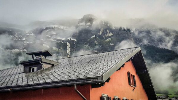
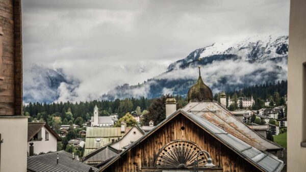
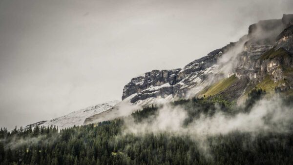
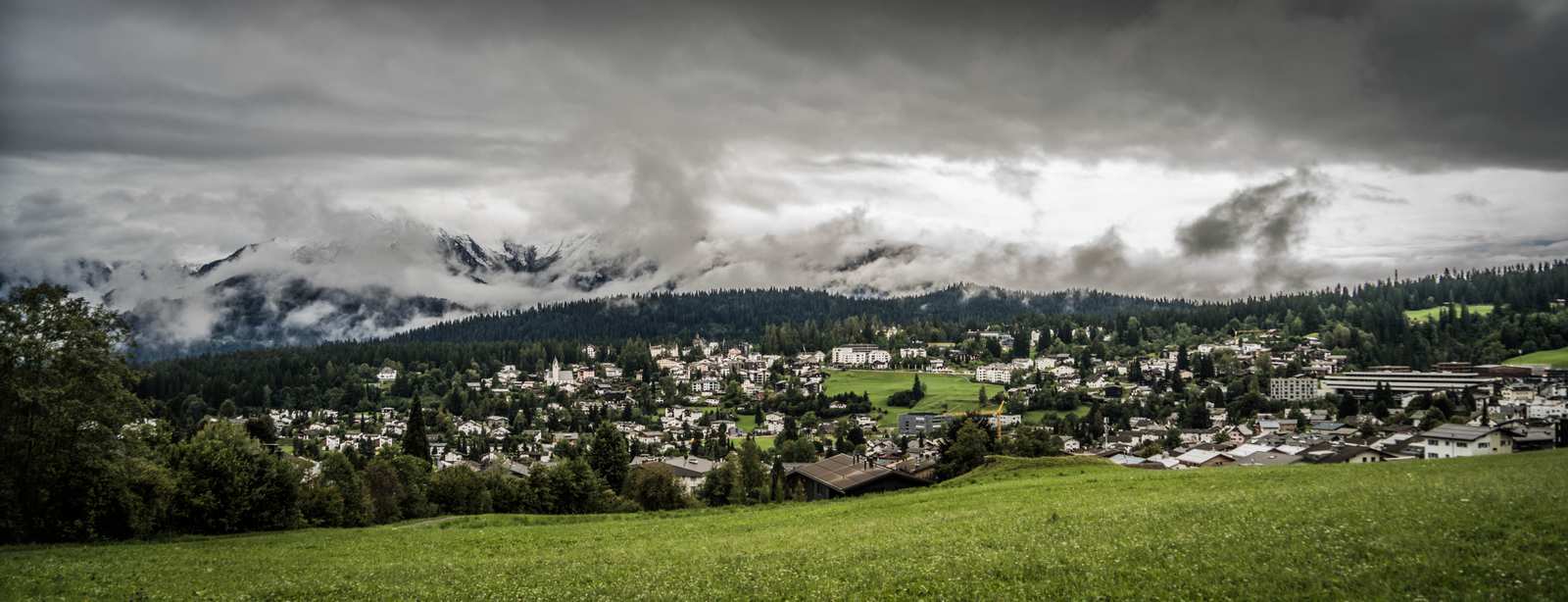
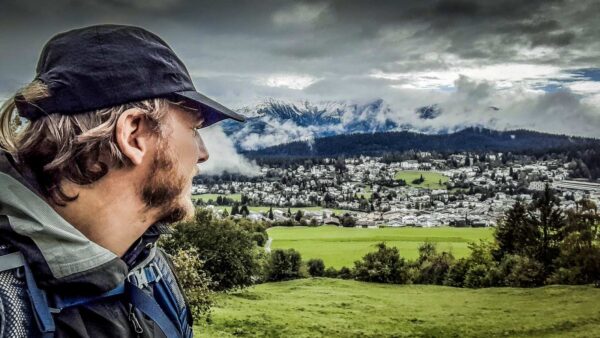
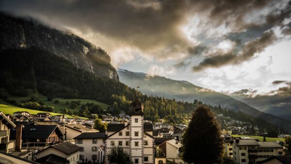
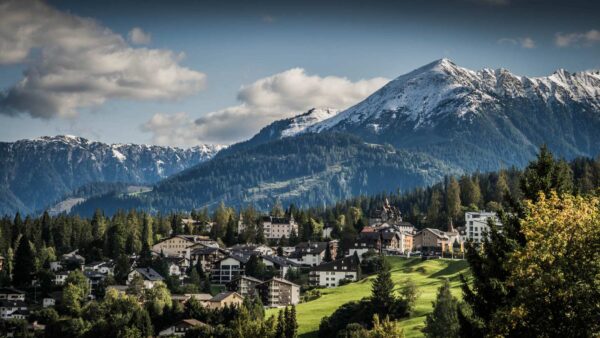
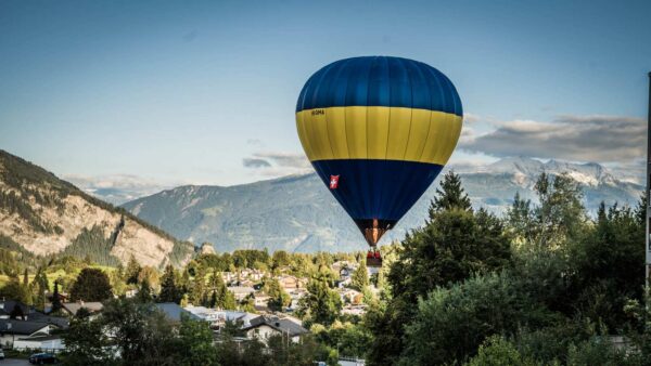
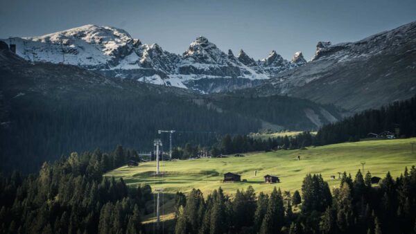
This also shows the Graubünden mountains in their most beautiful splendor. The clouds hang low and billow over the tops of the trees.
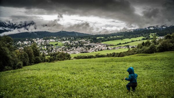
I spent half of my childhood here when my grandparents still lived here. Now my son is here too.
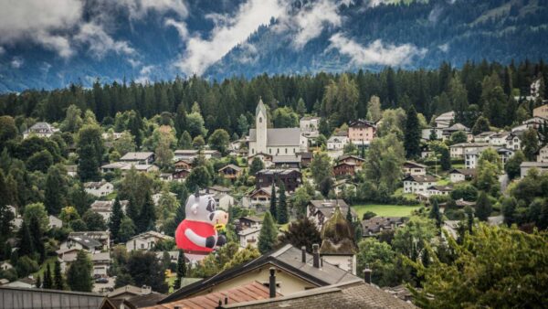
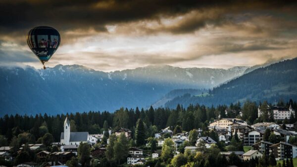
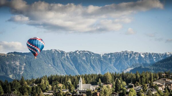
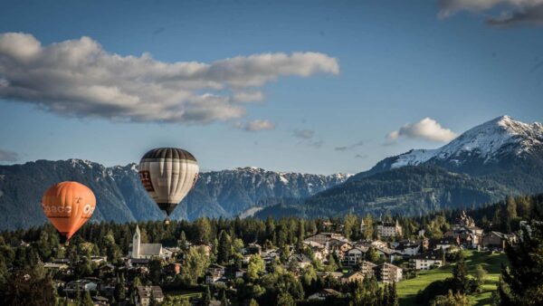
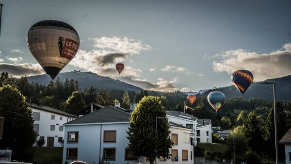
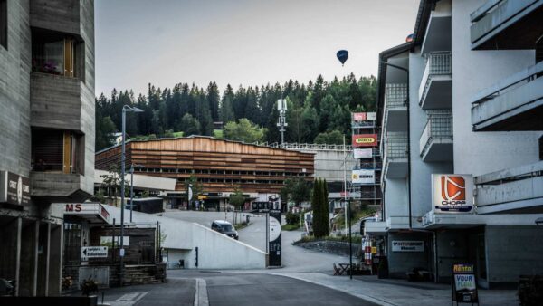
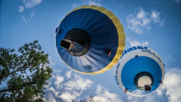
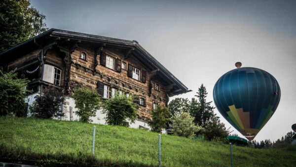
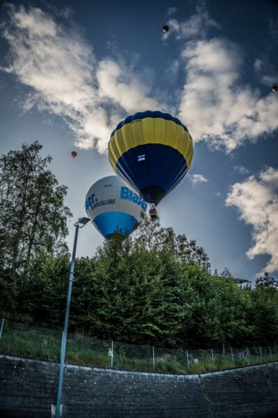
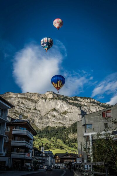
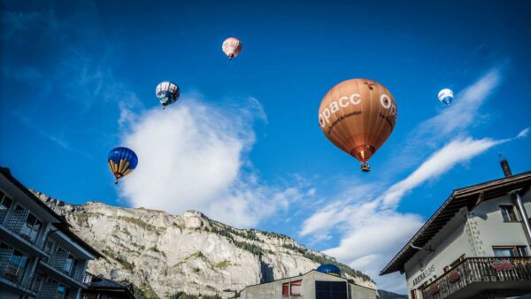
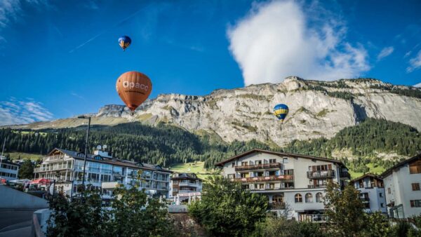
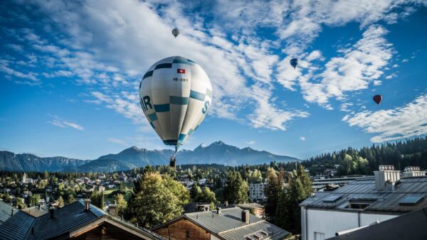
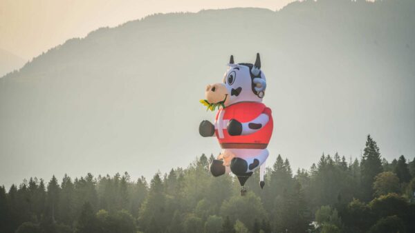
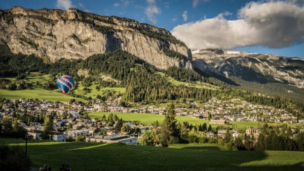
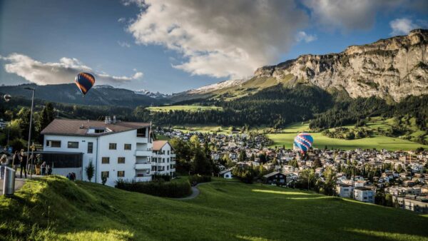
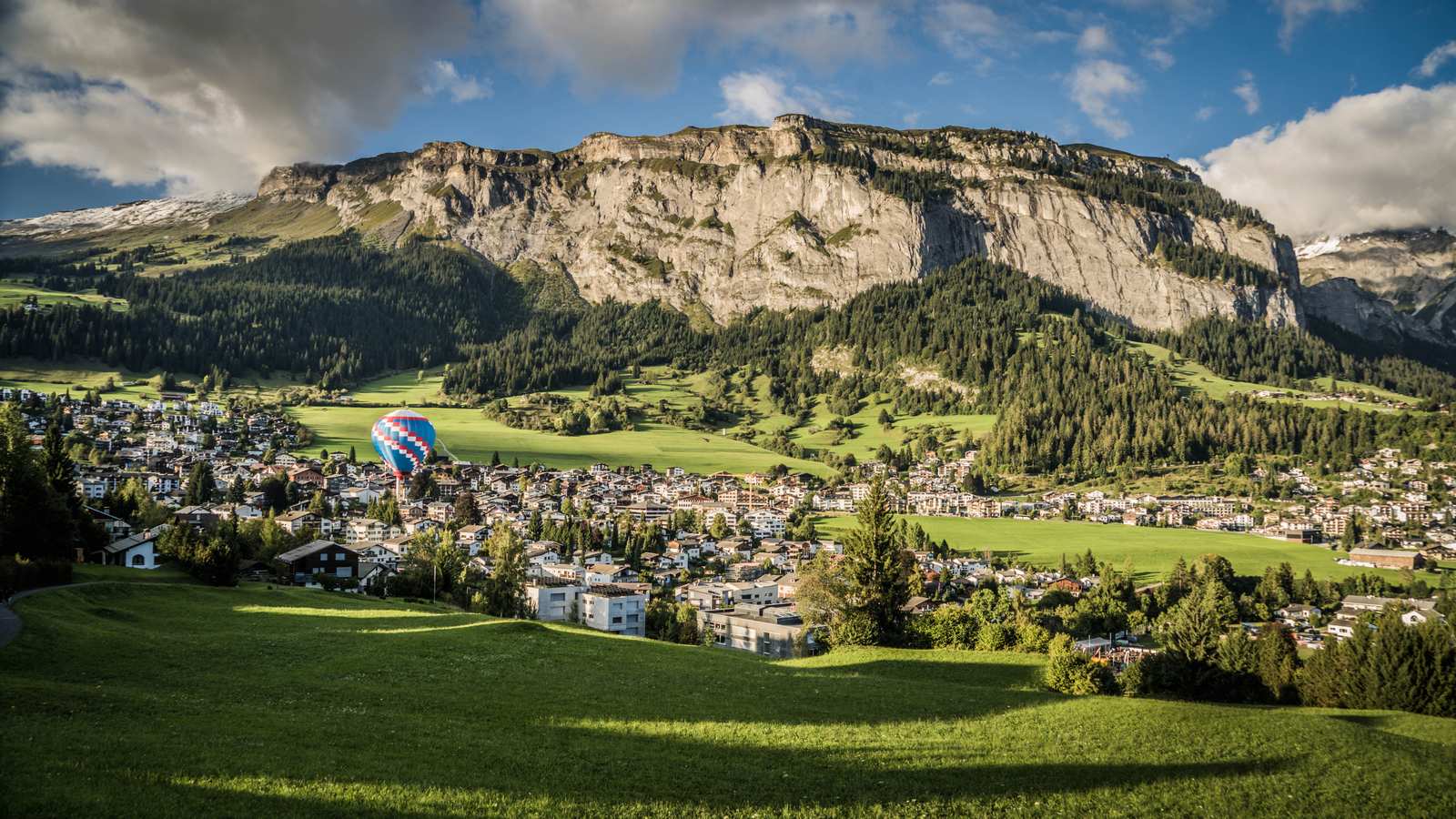
Coincidentally, the hot air balloon days take place this week. Every day, dozens of balloons are launched, especially in the morning and evening. The backdrop has its special charm. The big balloons sometimes fly so close over the roofs that I wonder how there are no accidents.
I remember earlier this year when I could see hundreds of balloons in Cappadocia.
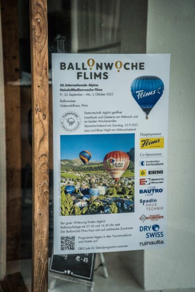
Leon is also happy about the many hot air balloons that fly across the sky like colorful balls and rise again with a hiss.
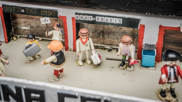
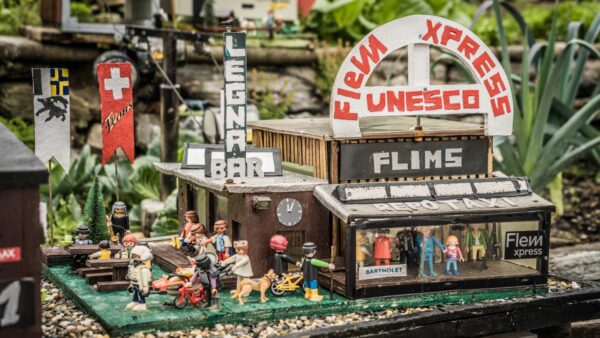
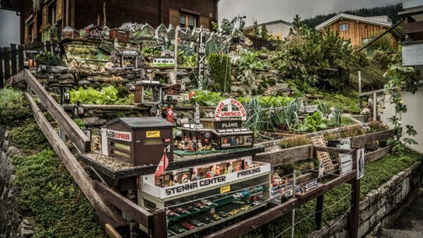
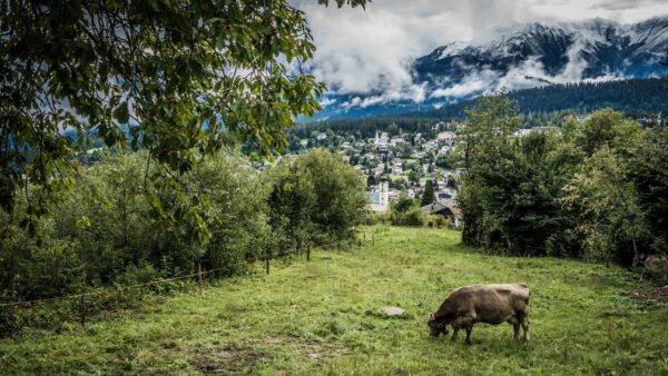
I indulge in childhood memories and share them with my own child. We walk through the village and let Leon play where I already played back then. We explore the panoramic paths and have a great overview of the village.
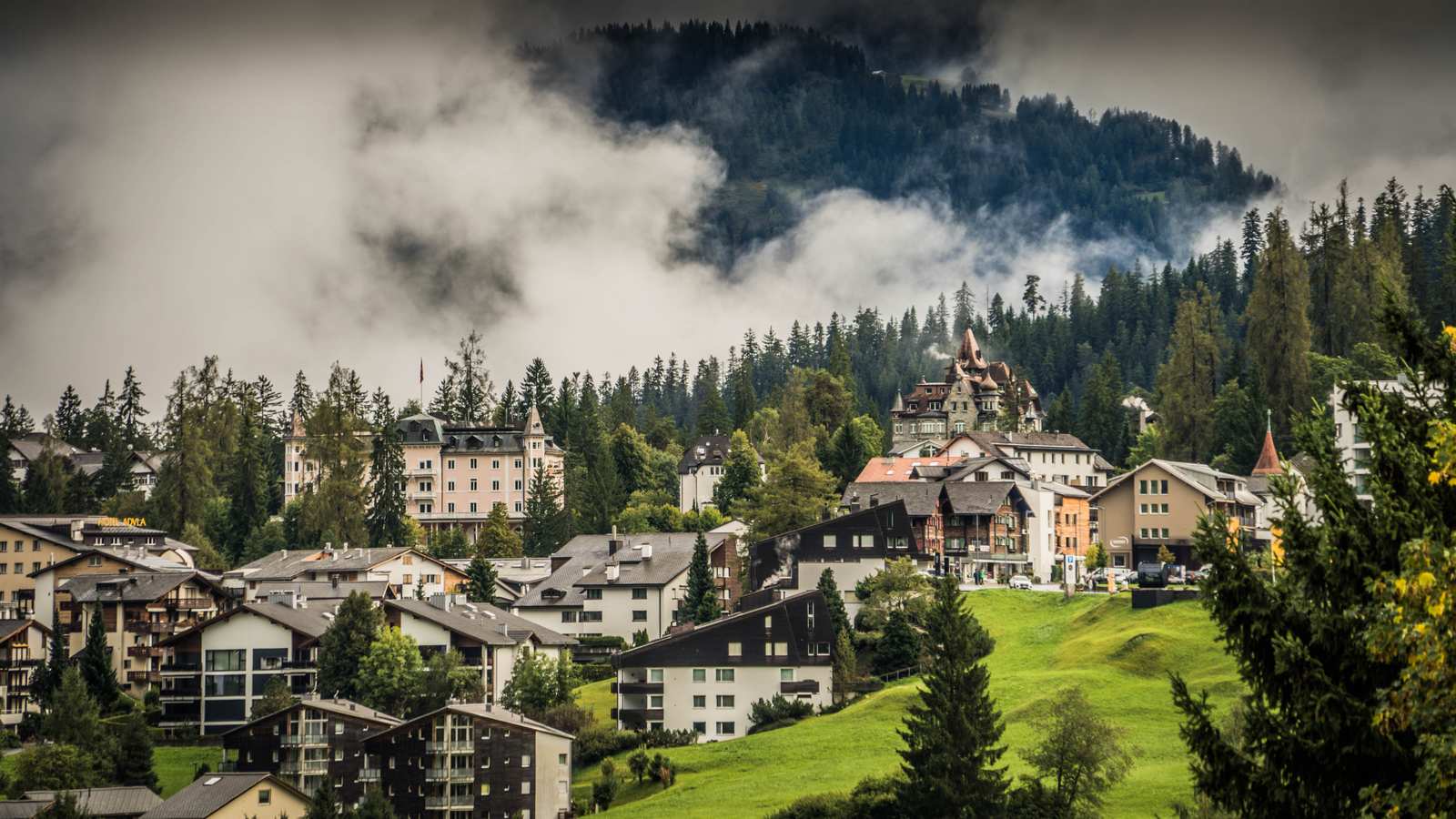
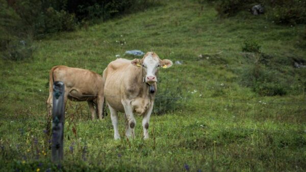
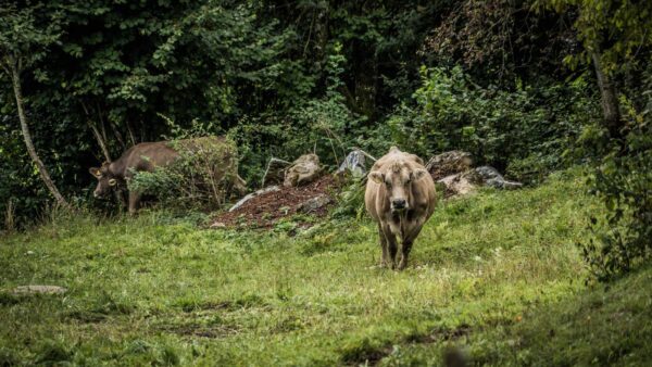
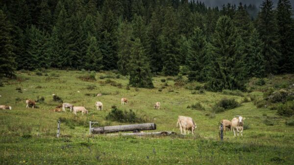
It’s busy here in winter. Flims and Laax are among the largest ski areas in Switzerland. That’s not my case. In order to boost tourism in summer too, a lot of investment has been made to make the slopes attractive for mountain bikers and to fill the empty ski resorts.
There is now also a lot for hikers. Together with Laax, Flims offers many hiking trails, but also children’s programs. I will also hike across the Segnesboden on my own.

Flims Facts
- Geographical location: Flims is located in the canton of Graubünden, in the east of Switzerland. It is surrounded by majestic mountains, dense forests and crystal clear lakes.
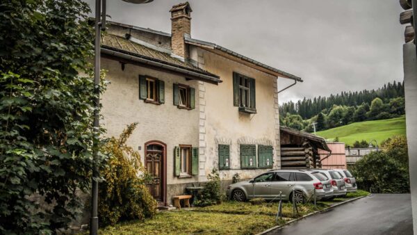
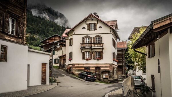
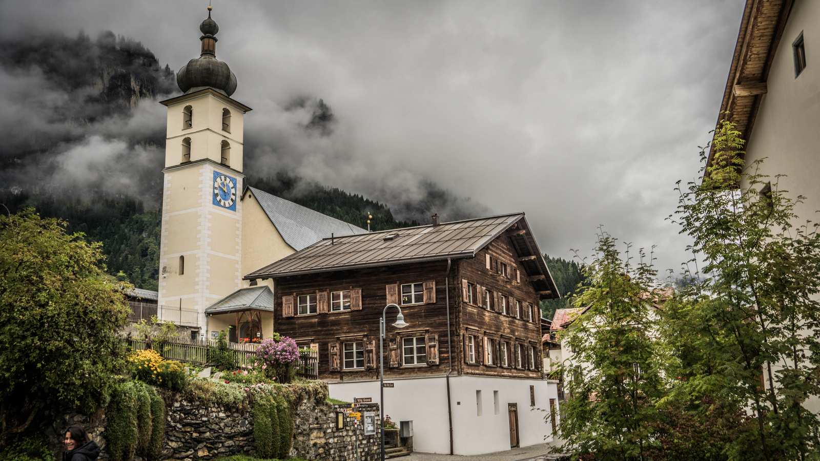
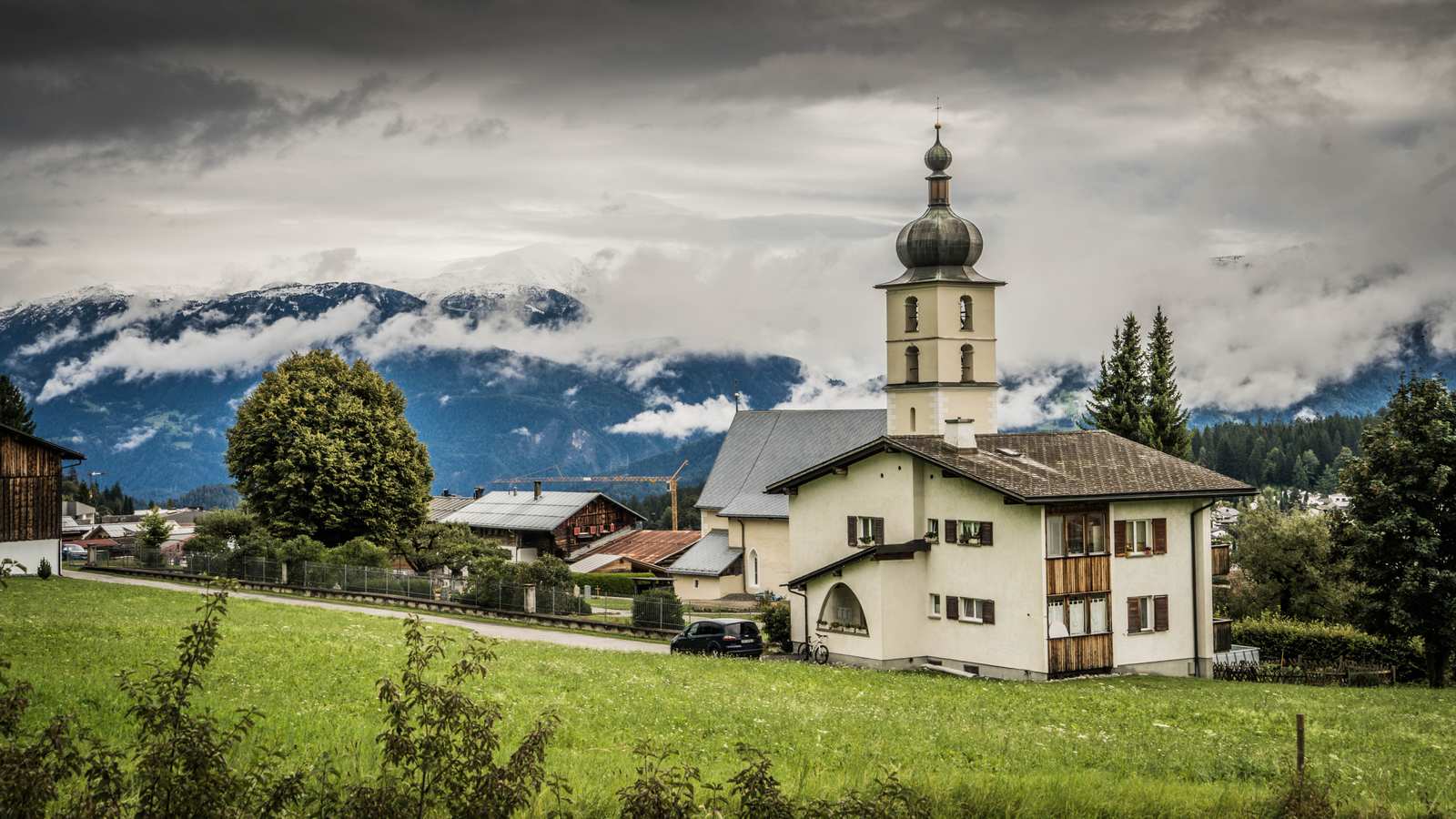
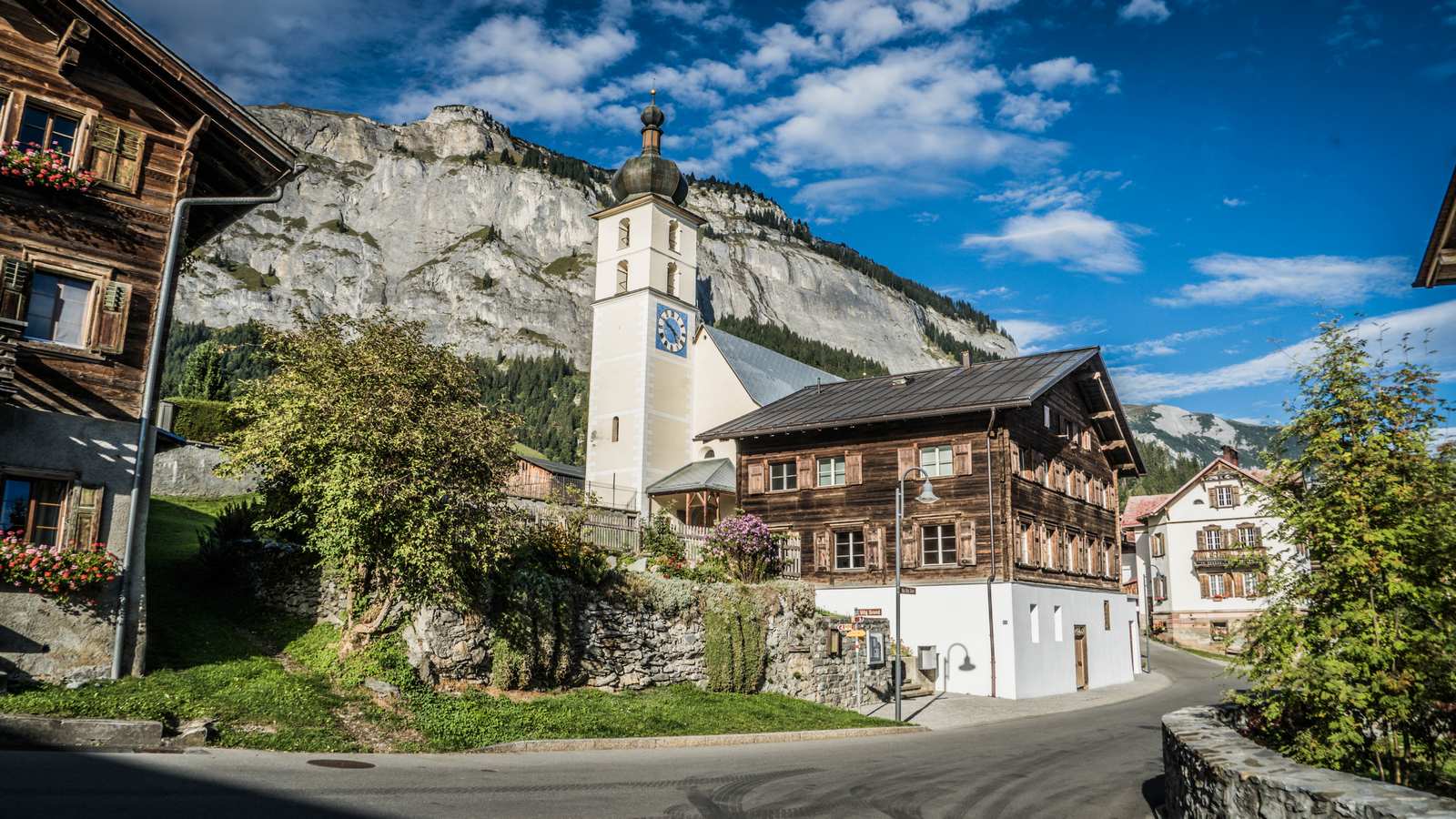
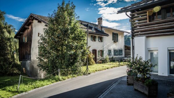
- Historical roots: The history of Flims goes back to the Middle Ages. It was once an important trade and transport hub. The old buildings and narrow streets tell of times gone by.
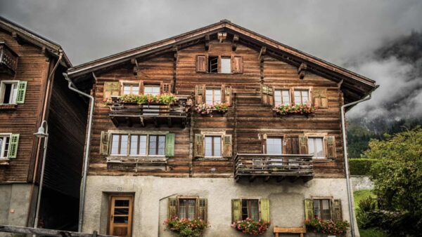
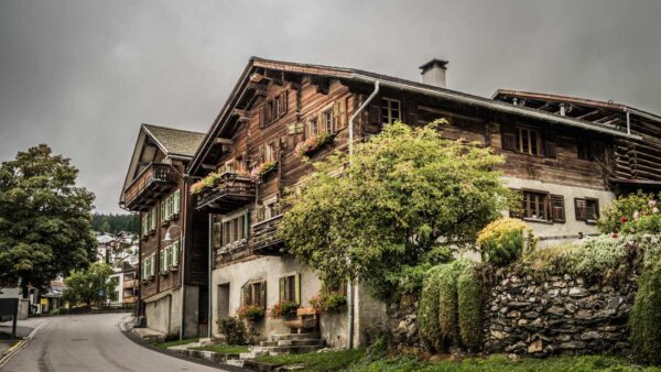
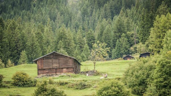
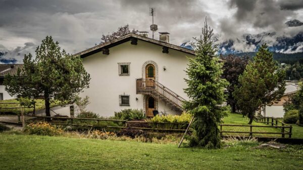
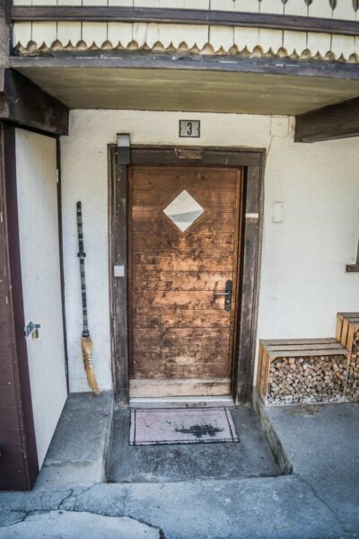
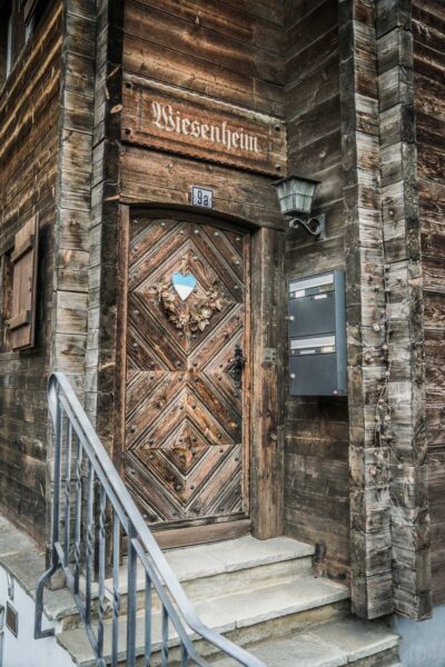
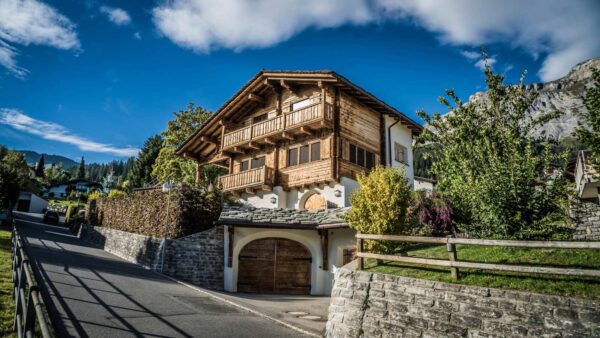
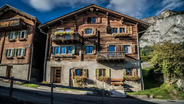
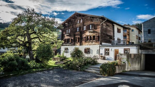
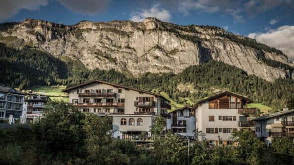
- Architecture: Flims is known for its traditional alpine architecture. The wooden houses with their characteristic balconies and shutters give the village a rustic charm.
- Caumasee: One of the highlights of Flims is Lake Cauma. This mountain lake is surrounded by dense forest and offers clear, turquoise water. In summer it is a popular place for swimming and relaxing.
- Hiking opportunities: Flims is a paradise for hikers. There are numerous hiking trails that lead to spectacular viewpoints, waterfalls and mountain peaks.
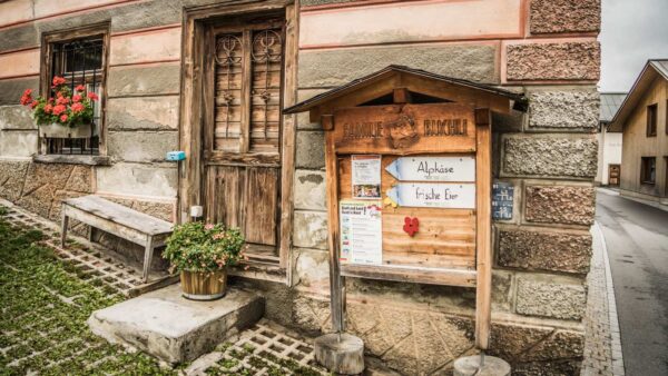
- Culture and tradition: Flims also celebrates its cultural roots. Traditional festivals, musical events and local crafts are part of village life.
- Tourism: In recent decades, Flims has developed into a popular tourist destination. Visitors from all over the world come here to enjoy nature and experience the tranquility of the mountains.


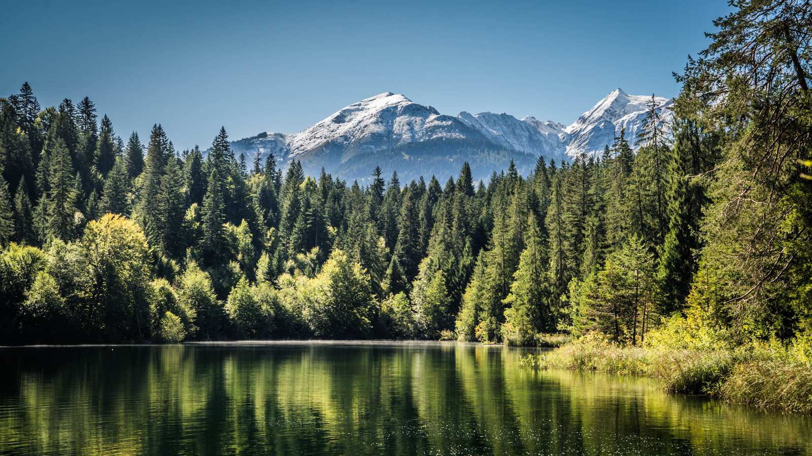
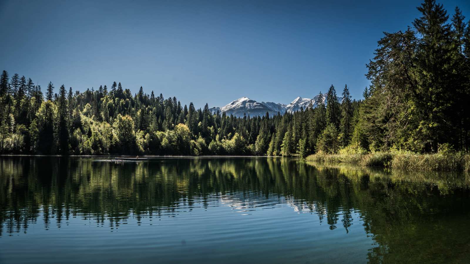
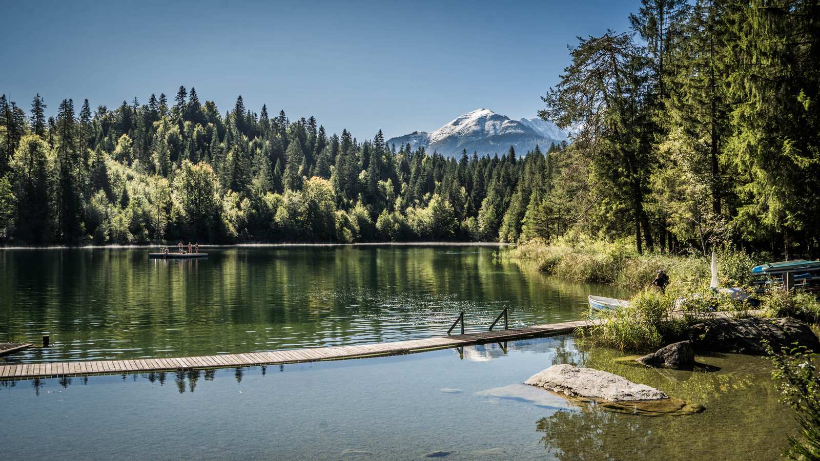
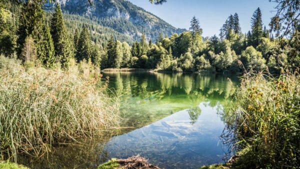
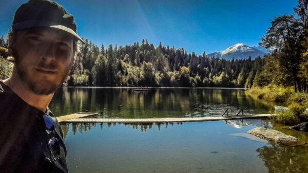
From the village center we hike to Crestasee. It is not as famous as Caumasee, but it is not as crowded either.
When we start in the morning it is still pretty cold. But that’s changing quickly and we’re sweating in all the layers of jackets we have with us.
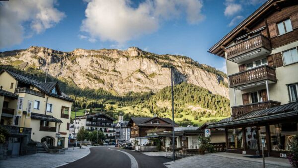
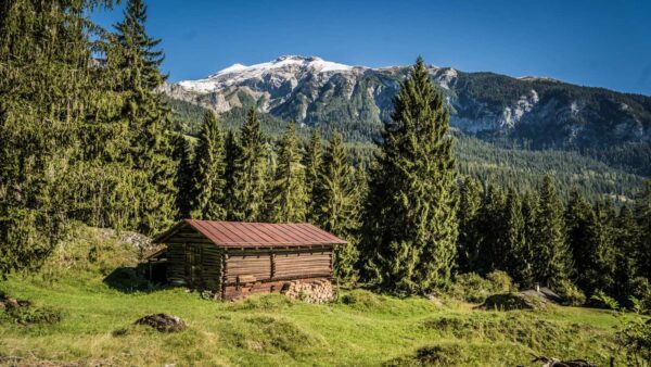
We walk along the Flimserstein with beautiful views and autumnal colors of the forest. This rock face is the symbol of the village and a feast for every (amateur) geologist.
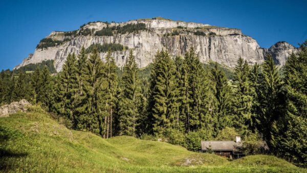
The Flimserstein
The Flimserstein, also known as Crap da Flem in the Romansh language, is an impressive natural phenomenon in Switzerland. This wide, sloping plateau lies north of Flims in the Grisons’ Surselva. Its highest point is at 2,694 meters on the Cassonsgrat, while the lowest point is around 1,900 meters high on the southern edge of the escarpment.
The north-south extent of the Flimserstein is around three kilometers, and the east-west extent is around 1.3 kilometers. In the north the Flimserstein is bordered by the Cassonsgrat, while in the south the plateau drops almost vertically to the village of Fidaz.
The Flimserstein has an eventful history. The lower part, called Pinut, was previously used as pasture and wild hay meadow. The name is derived from the Romansh word for red fir. Interestingly, as early as 1742, Nicolin Sererhard described the access to the Pinut as a narrow footpath through a rocky side that not everyone was allowed to climb. This unique place was considered a kind of insurmountable fortress.
The Flimserstein is also located on the edge of the Flims Bergsturz, the largest Alpine landslide ever to occur in Switzerland. In 1939, this landslide destroyed the rear part of the hamlet of Fidaz and the Sunnehüsli children’s home, killing 18 children and teachers.
Today the Flimserstein can be explored safely via the Pinut via ferrata. This via ferrata leads over ladders, stairs and through caves and offers a unique natural experience. Even children aged 12 and over can climb the Pinut in Flims. Rock movements are constantly measured as the rock above Fidaz is in motion123. 🏞️🇨🇭 1: Quelle 2: Quelle 3: Quelle