Diary Entry
We’re in Qobustan, admiring mud volcanoes and ancient petroglyphs. My original plan was to continue driving freely through the wilderness into the mountains from here and reach the main road on the other side tomorrow. Where Google Maps fails, satellite images help to see where the roads run. There are still a few volcanoes along the way. But unfortunately, a modern, but closed, road has been added along with the concrete construction. When I inquired, I was told I couldn’t continue driving here.
We drove past the police officers again (who now seemed to have given up on us) and back onto the main road, taking a detour around the national park via the motorway to find a road into the mountains. While the past few days had been sunny, today it was relatively cloudy. It only started to clear up in the afternoon when we reached the gravel track towards the mountains behind the small town of Mughan.
Finally, wilderness. Finally, freedom!
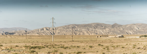
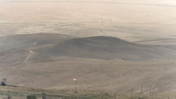
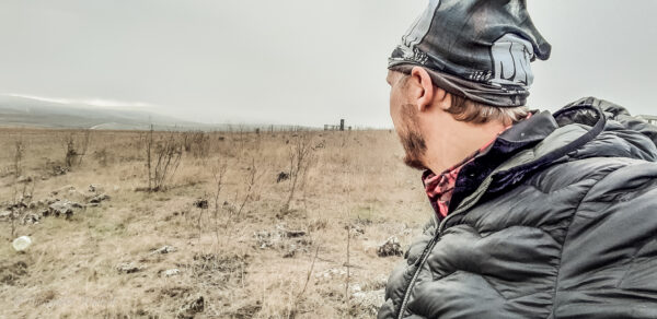
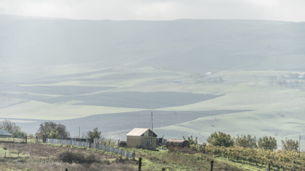
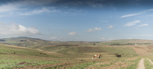
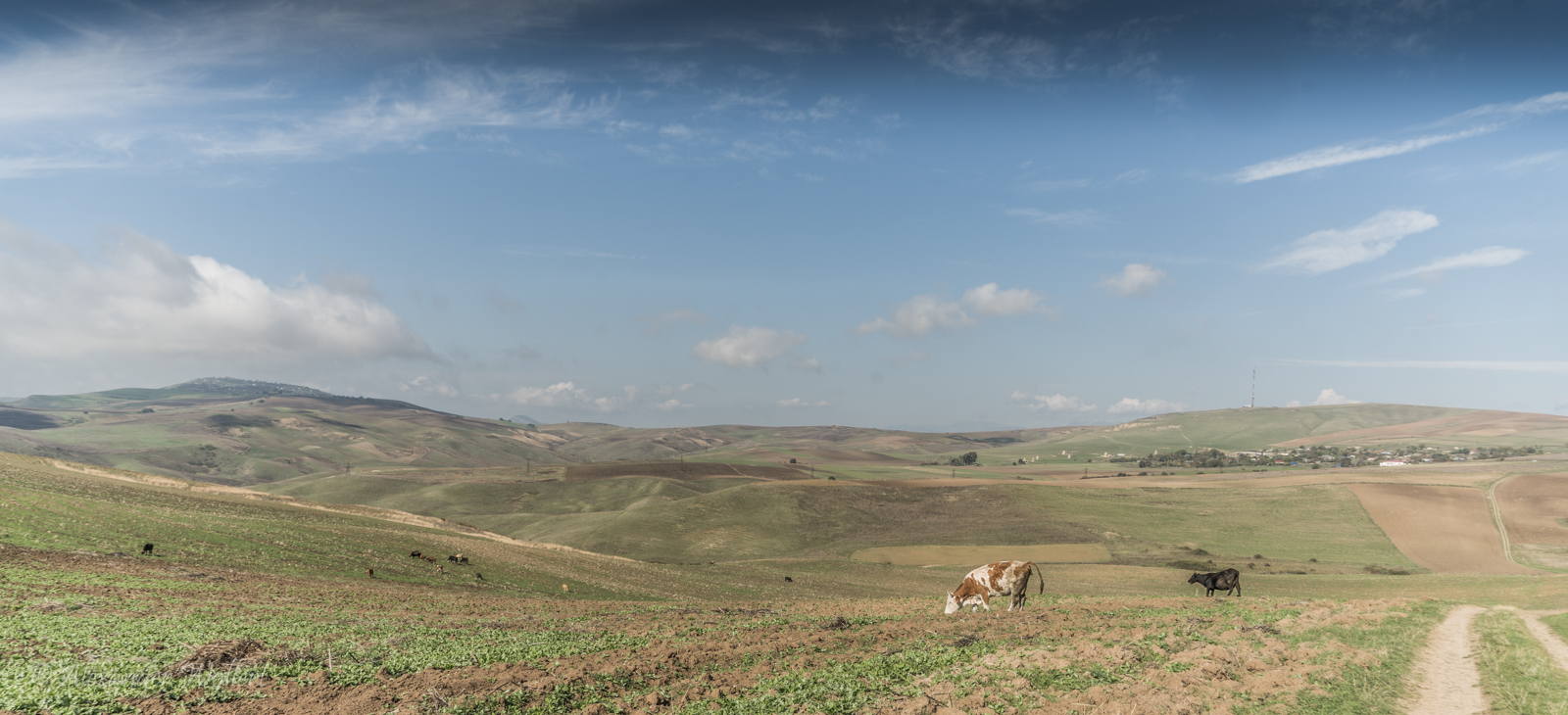
On one side the land is incredibly flat, on the other rise the soft foothills of the Caucasus.
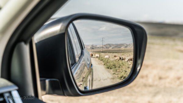
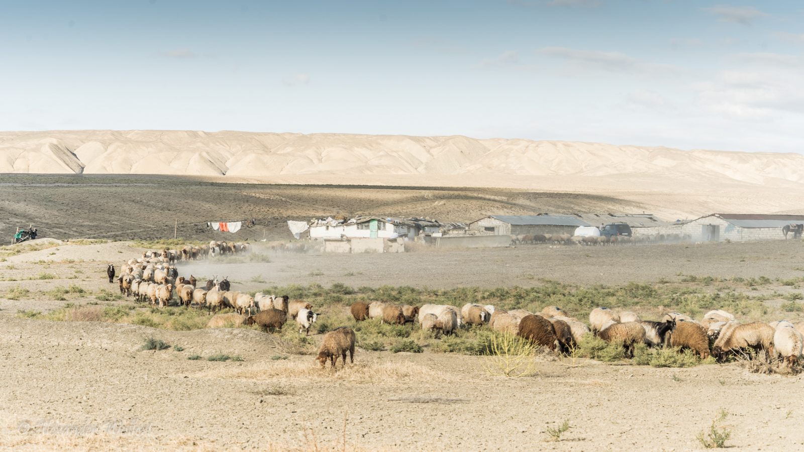
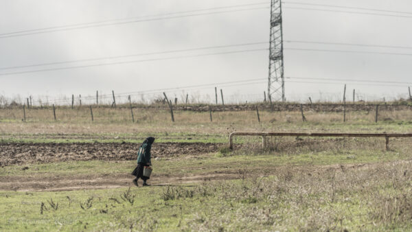
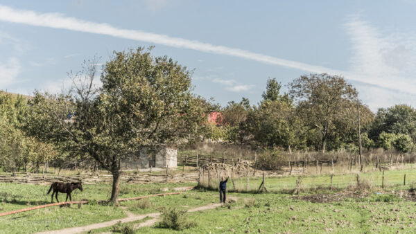
There are only villages and sheep here. We have to watch out for the sheepdogs.
The animals are trained to defend their herd even against wolves and bears. One of those would eat us for breakfast.
Beware of the shepherds’ dogs!
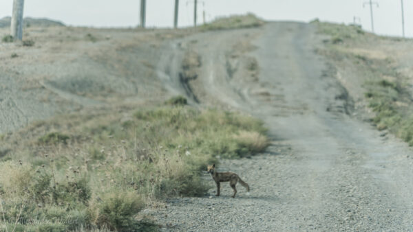
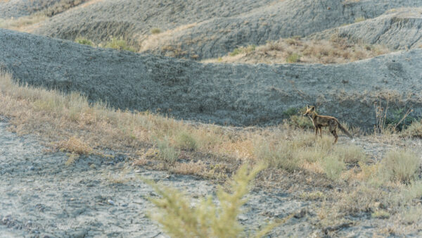
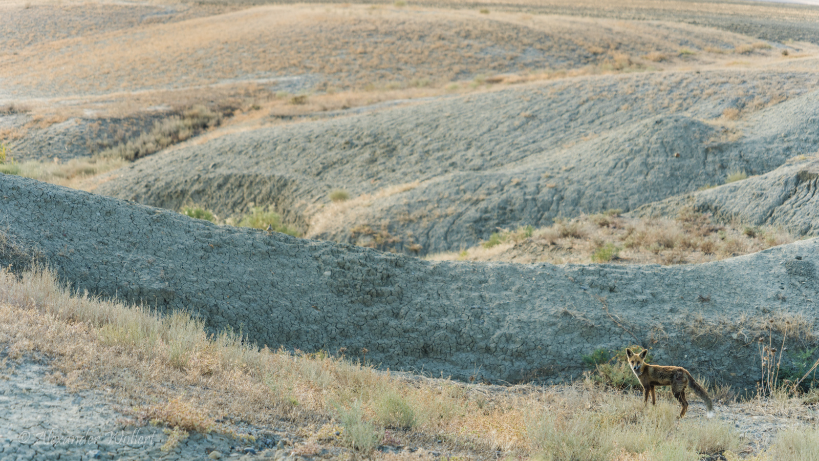
The sun slowly sets and the light gradually dims. A small fox looks at us from a short distance in curiosity.
We gaze at each other, fascinated, until the fox seems to remember that he is hungry and should go hunting.
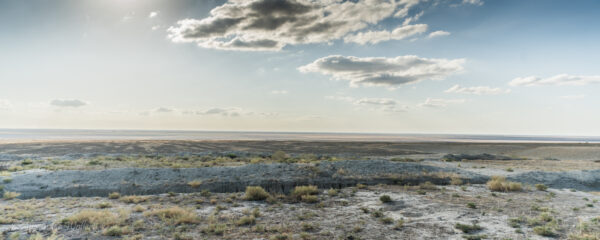
On one side we see endless, flat expanses.
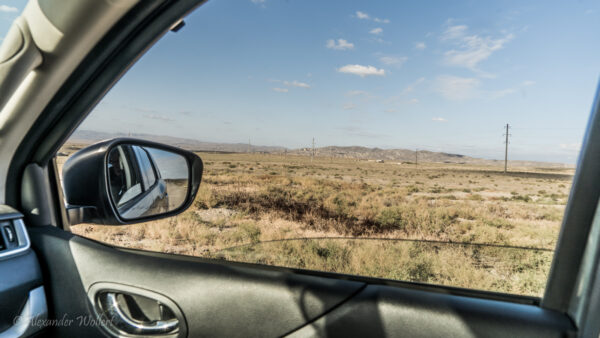
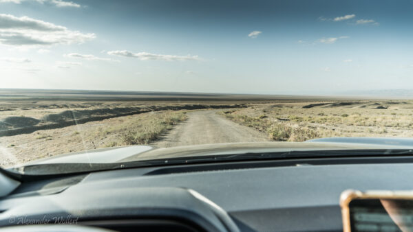
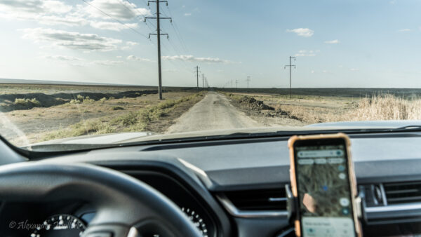
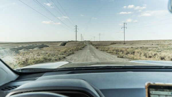
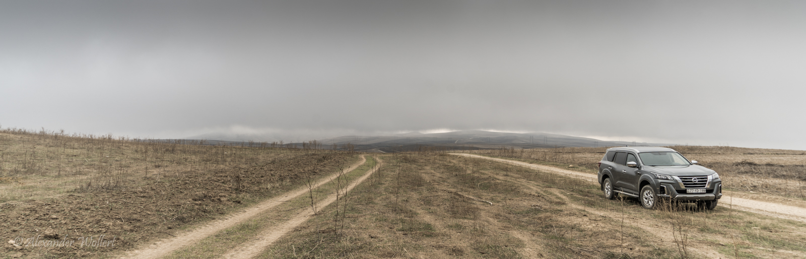
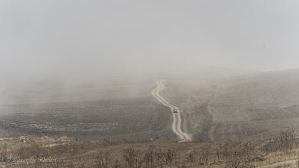
The streets either don’t exist on Google Maps or they run in completely different locations in reality. Satellite images are very helpful!
The sun bathes the land in gold. We are alone on this track, which winds slowly up the mountain. Every now and then we have to drive off-road because someone has dumped piles of gravel right in the middle of the road.
I also need satellite photos for this route, as Google Maps doesn’t know the route or the roads there deviate completely from reality.
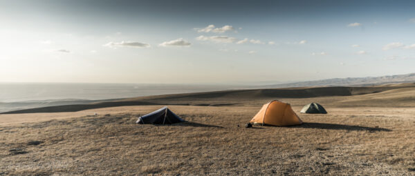
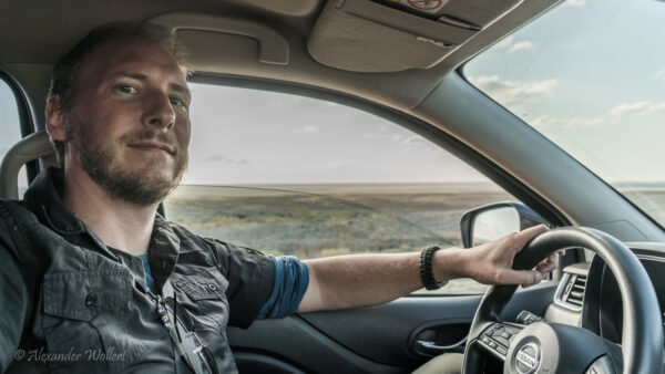
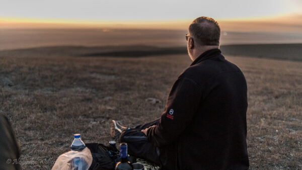
It’s late afternoon and I’m convincing the boys to camp here. Uwe and Chris aren’t very familiar with wild camping and are skeptical. “Where are we supposed to camp?” – “Doesn’t matter! This is a huge campsite!”
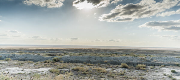
The location on the hillside near the road, with a wide view of the countryside at sunset and absolute solitude, removes any doubt.
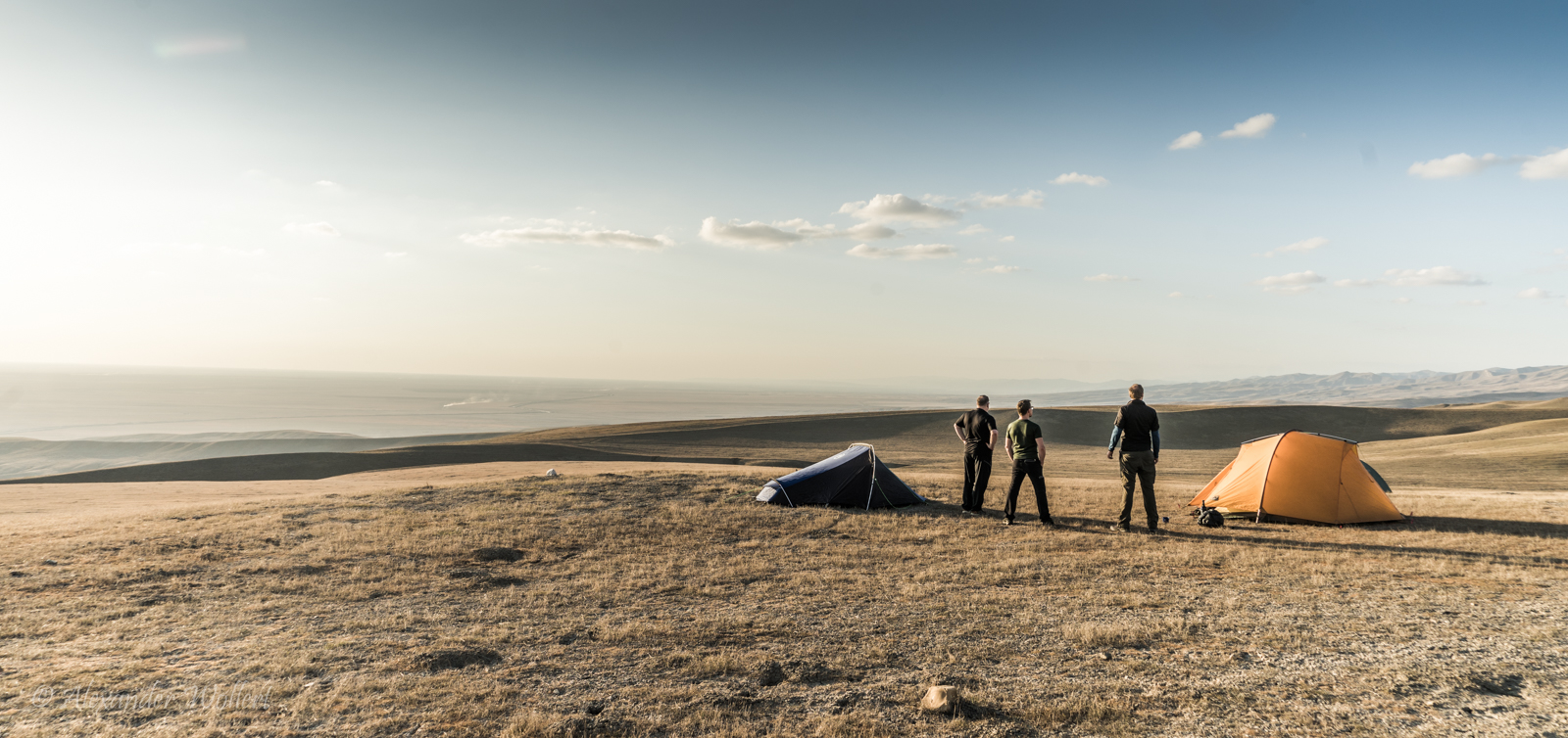
There is no better campsite than these gentle hills.
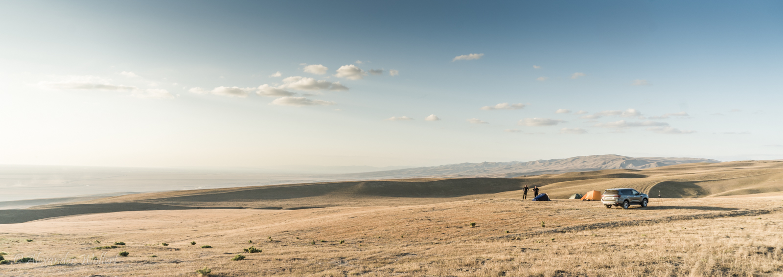
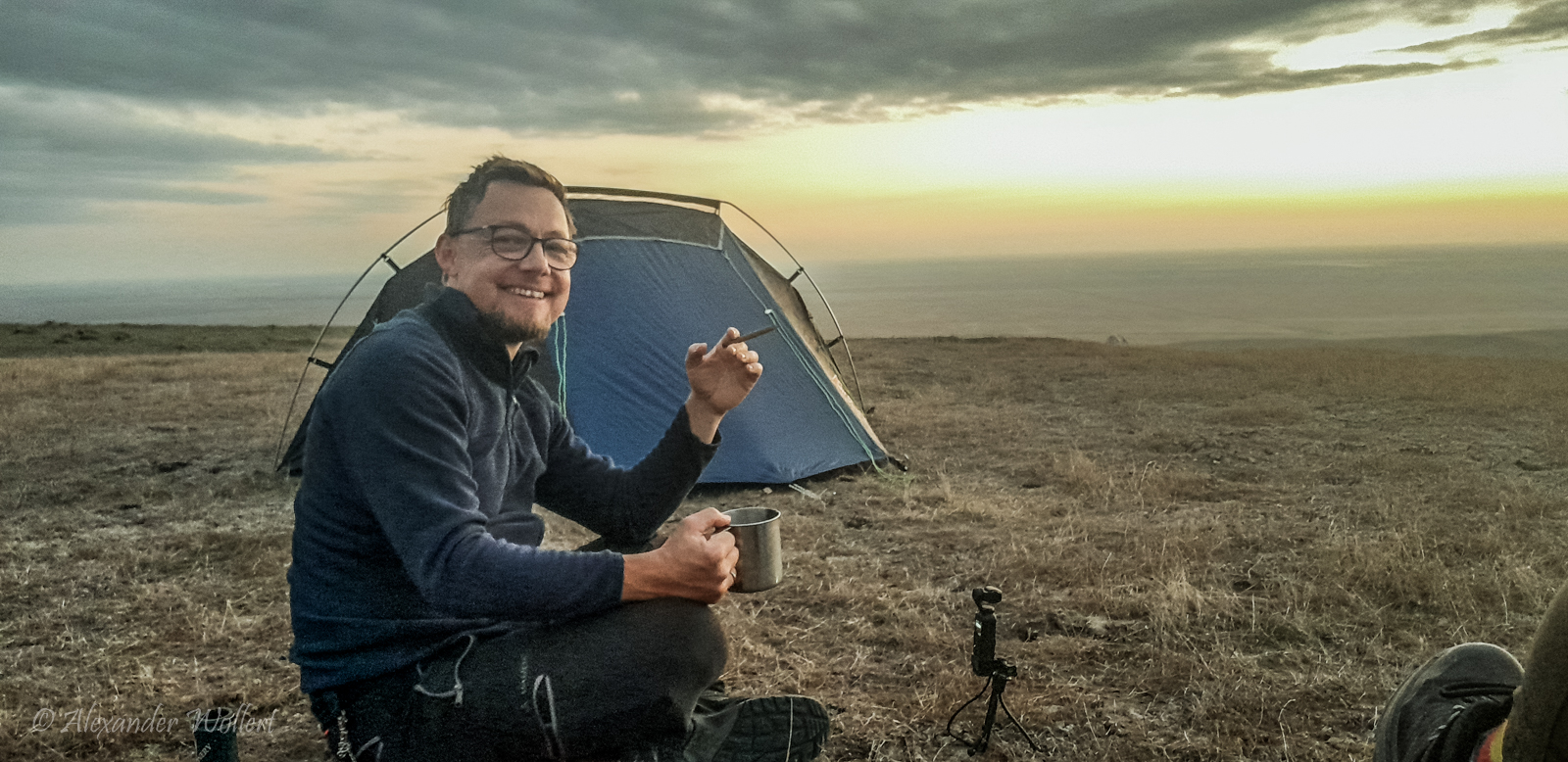
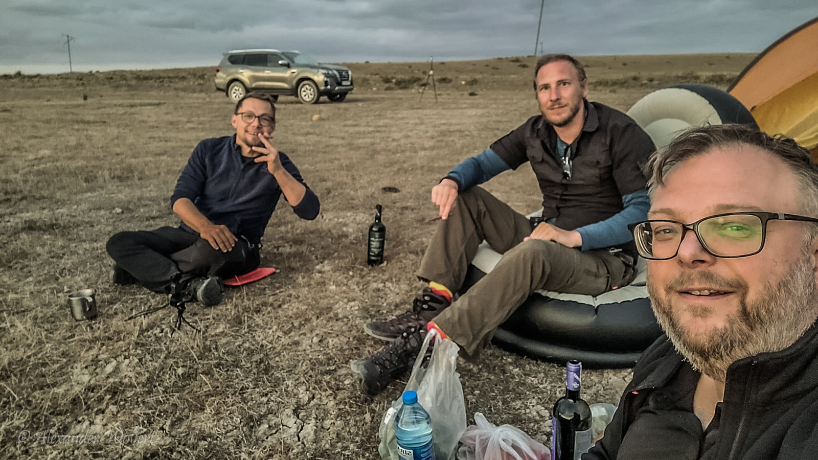
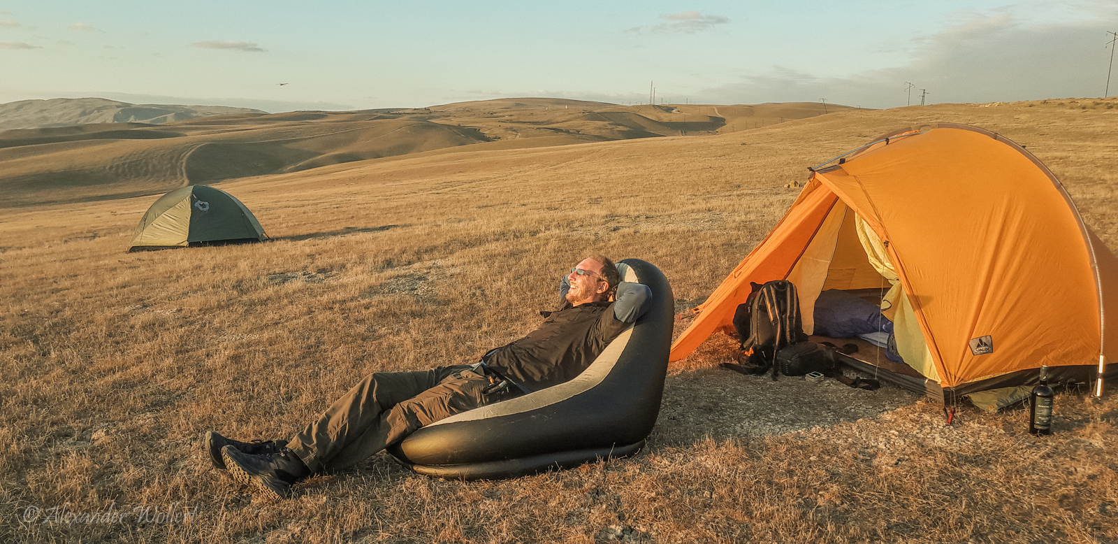
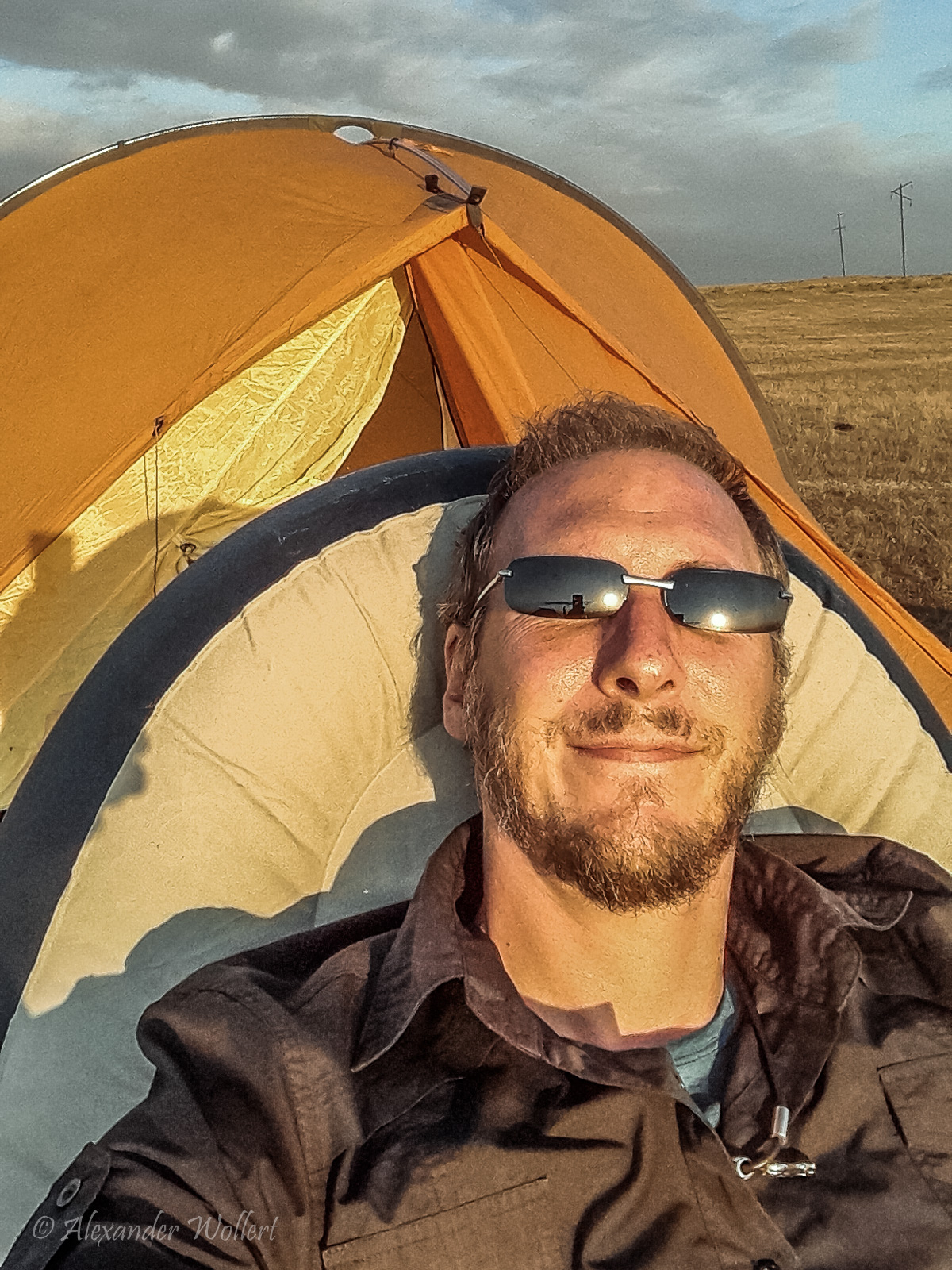
We pick out a hill and I steer the off-road vehicle across the barren ground, which offers an ideal spot for our tents. We quickly set them up and settle in with some slices of salami and Robert’s bottle of wine.
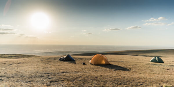
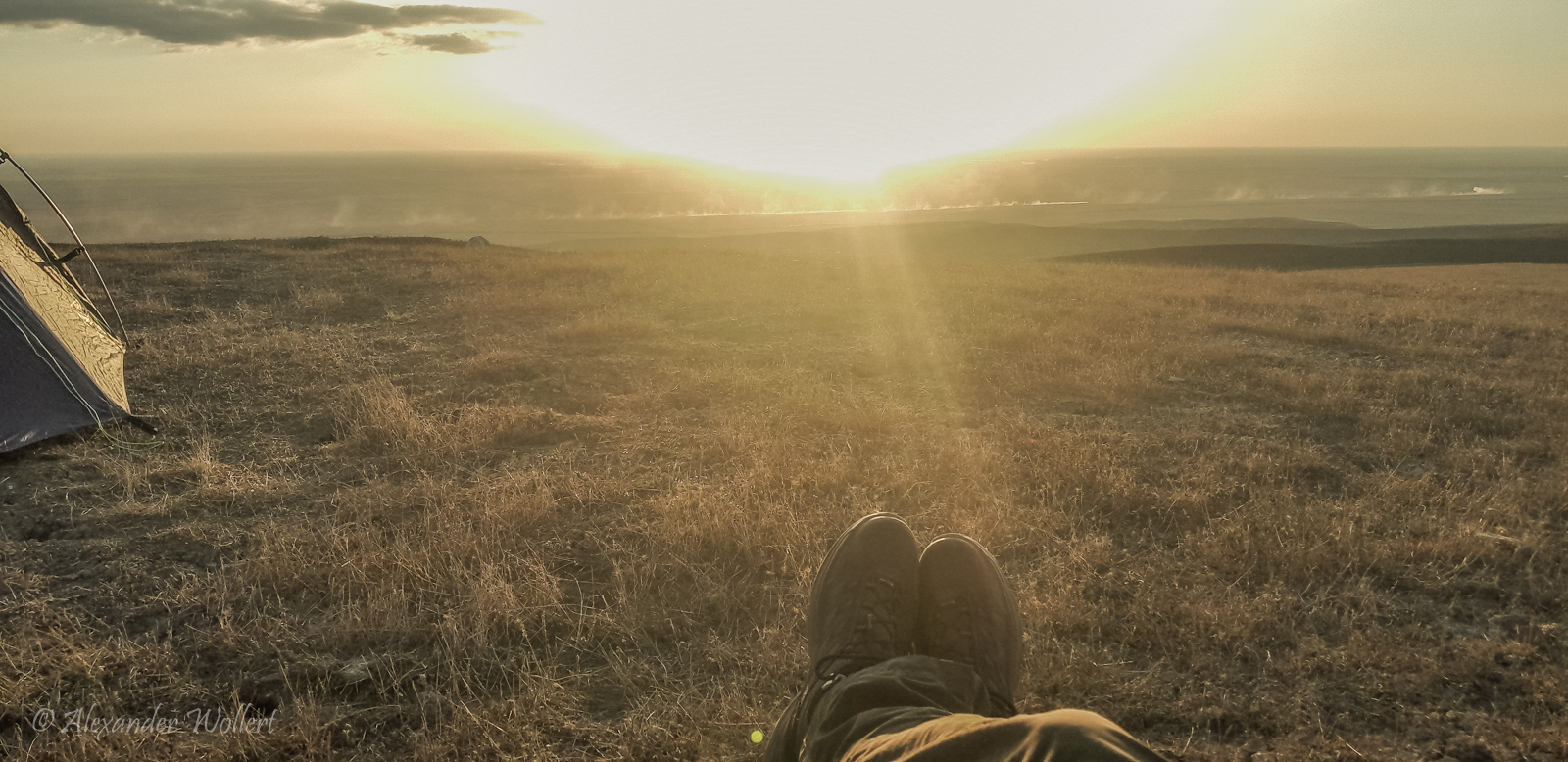
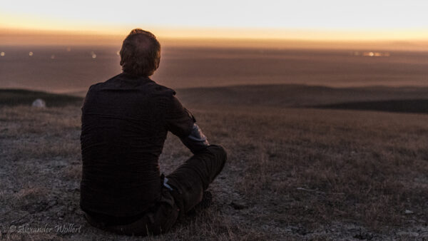
The world is showing off its best side, and we have a front-row seat.
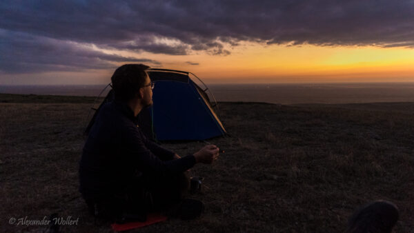
In the glow of the setting sun, we can see the outlines of the mountains of Nagorno-Karabakh.
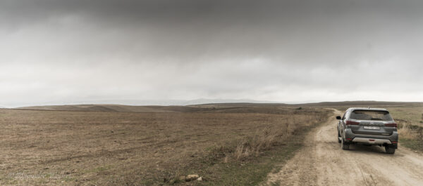
Clouds rolled in overnight and it got cold. We took down the tents and set off by car. The clouds were hanging directly overhead. The satellite images helped me find my way through the mountains.
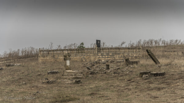
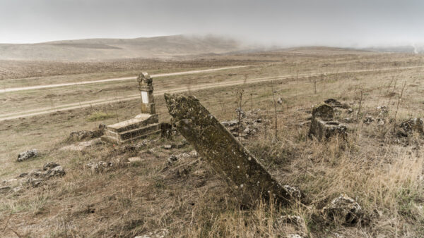
On the way, we stop at a dilapidated cemetery where there are apparently Christian gravestones standing and lying.
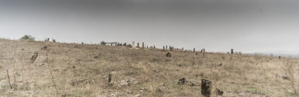
Is this an illegal cemetery?
A green Lada drives past us and stops. An old man gets out, but doesn’t seem to accuse us of desecrating a grave; instead, he smiles at us, extends his hand, and even gives us a pomegranate.
He seems very curious about who we are and where we come from, but the conversation can’t find common ground, so we remain silent.
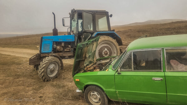
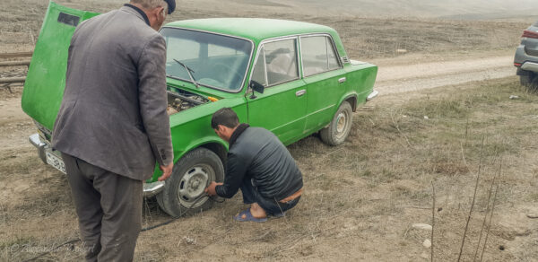
Then he points to his car and the front tire, which suddenly goes flat as if on cue. I try to ask him if he has a spare, but he doesn’t understand me. Also as if on cue, a tractor arrives with a young boy on it. The two quickly exchange information, and the boy pulls out a hose.
He bridges one of his tires with the Lada’s and pumps it up again. It probably won’t hold for long, but the old man cheerfully bids farewell to the lad and us and chugs on happily.
We continued on our way. How the man managed to drive over these tracks is beyond us. His Lada is just a small tin box with tiny wheels.
In some parts, the road can hardly be called a road anymore, because it consists only of deep depressions and elevations.
We reach the next village, where the people look at us with some surprise, but wave back. Since we haven’t had breakfast yet, we look for a café. We actually find a place where men are playing dominoes outside and a young man is handing out tea. Here, too, the people are surprised, but with a few Russian words, we also get tea and some “piti” to eat. This is a small stew in a clay pot, which I recognize from northern Iran as “dizy.”
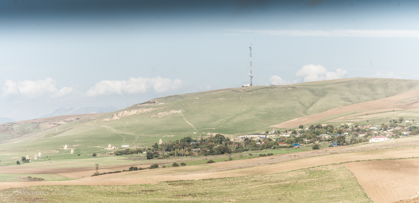
We pass through more villages and see farmland all around us. The route on the map suddenly leads us off a dirt track and across the fields, but the farmers don’t seem to mind. I’ve spotted a place on the map where we can see small towers that served as mausoleums. It’s called Kələxana abidələri: the tombs of Kelekhana.
