Diary Entry
On Tufandağ, we were treated to a stunning mountain panorama on one side, while on the other, we had a sea of clouds. However, shortly after we arrived, the place was overrun by Indian tourists, so we made a hasty retreat.
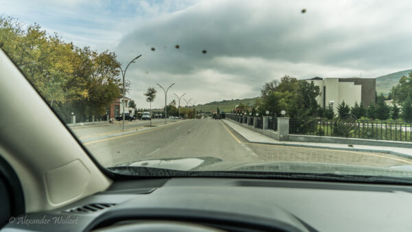
We drive east and make a brief stop in Shamakhi (Şamaxı) to eat, buy provisions and see the large Juma Mosque, which we had previously forgotten.
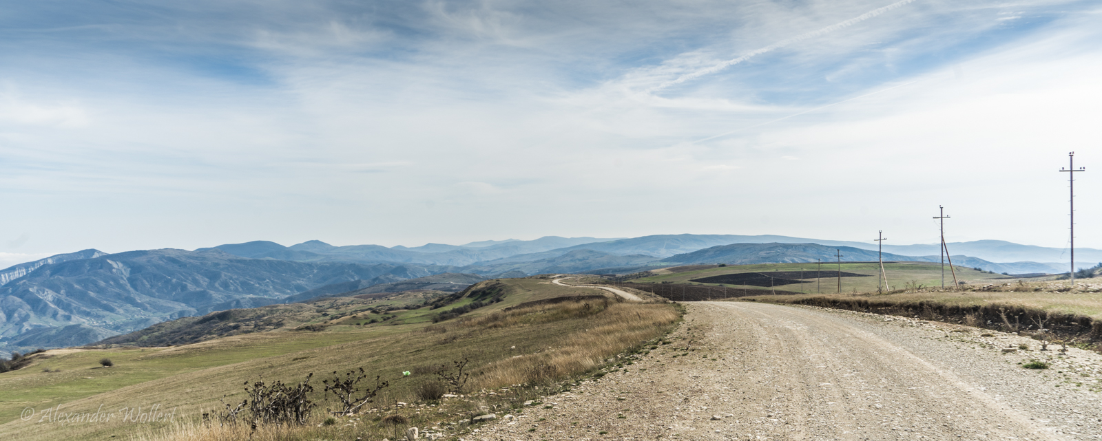
From Shamachi, we’re heading north into the mountains. I saw on the satellite map that there’s a “road” over the mountains that would save us a detour via Baku, allowing us to reach Altıağac National Park (Altiagach, Altyagach, Alty-Agatsch, Altiaghach, Alyagach) and the Candy Cane Mountains beyond. It’s supposed to be very beautiful there.
We already know part of the route through Shamachi, as we’ve already taken this road towards Lahich. The road leads us through a few small villages until we’re on our own.
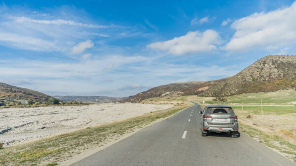
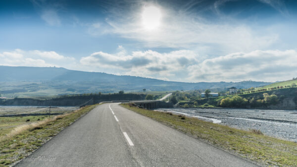
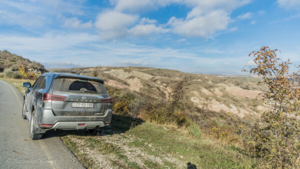
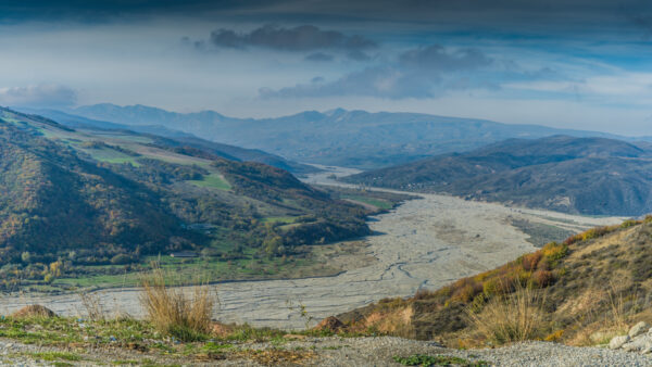
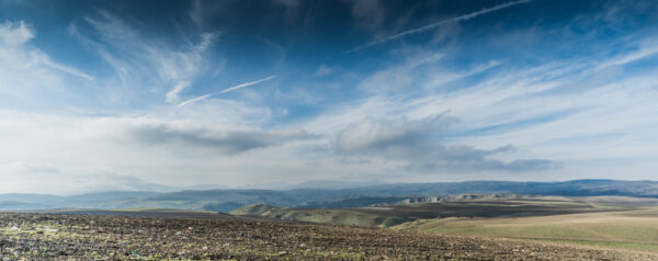
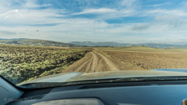
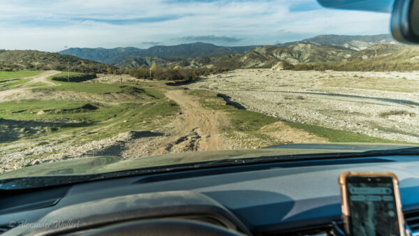
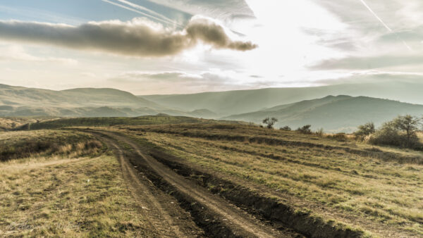
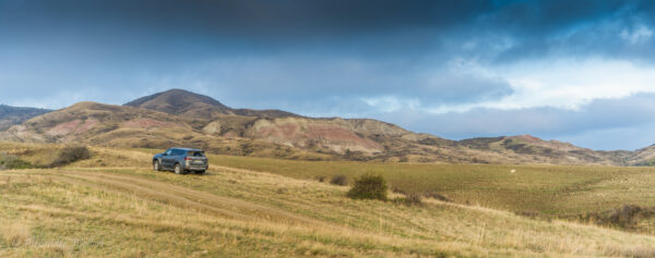
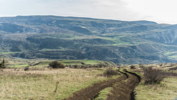
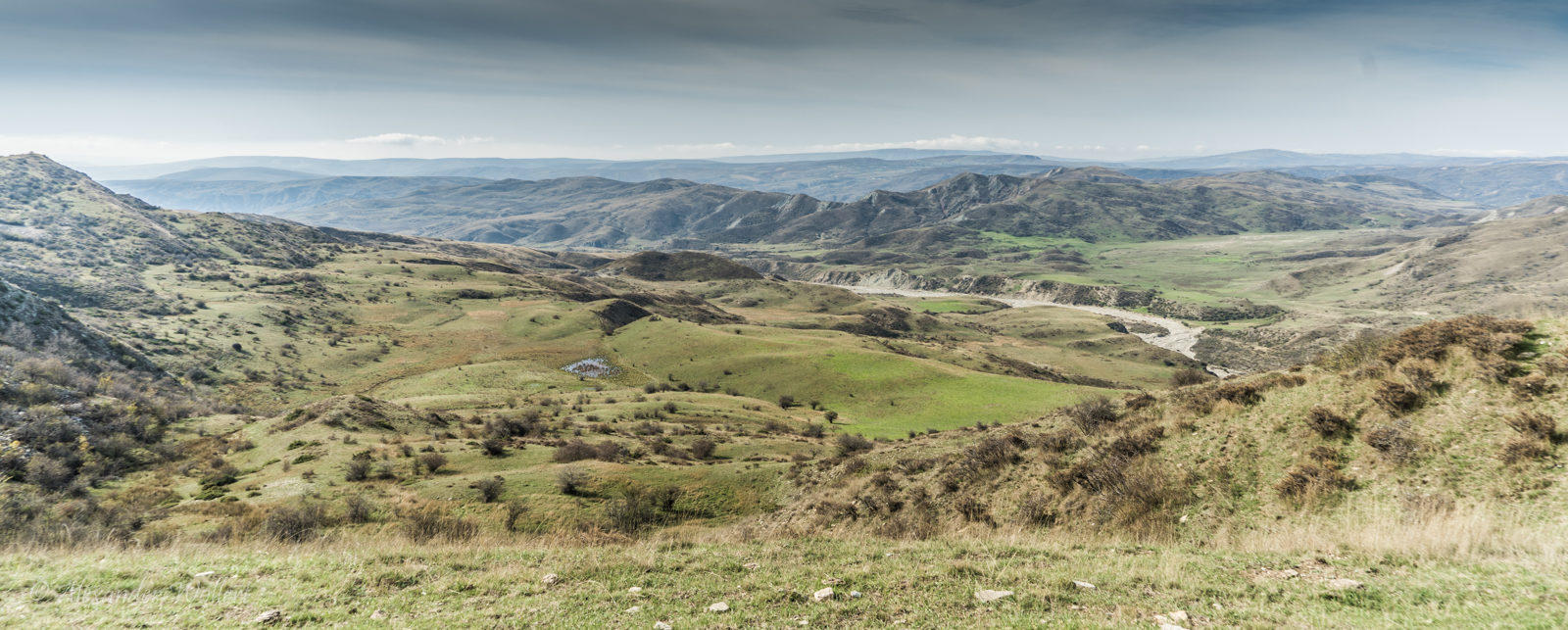
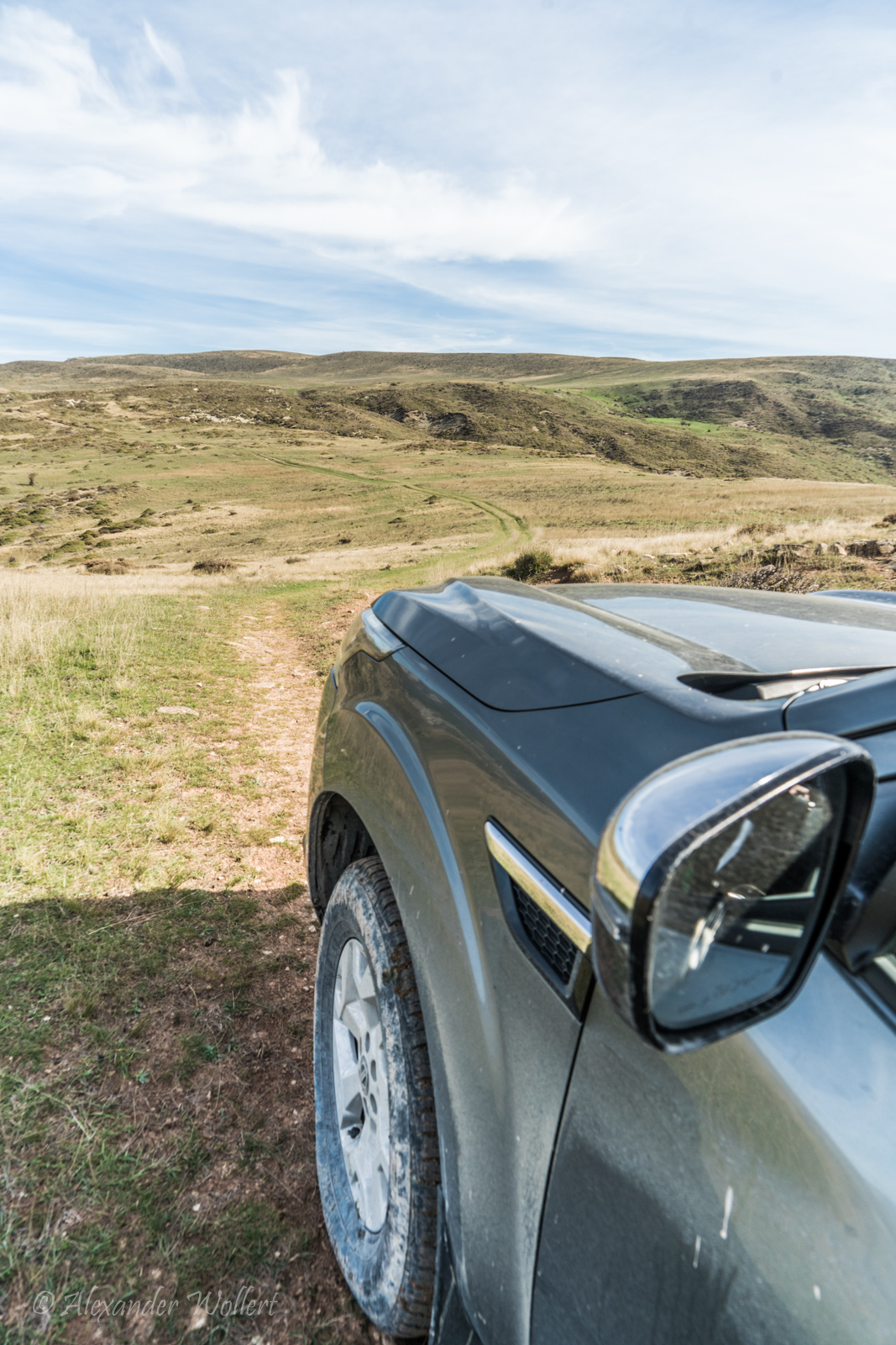
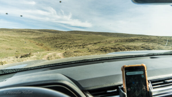
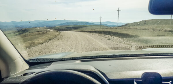
Soon the asphalt turns into gravel, the gravel into a path through a few fields, then just a track through scree, which eventually even leads through a river.
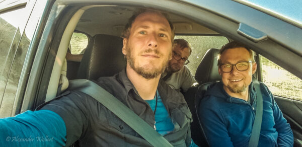
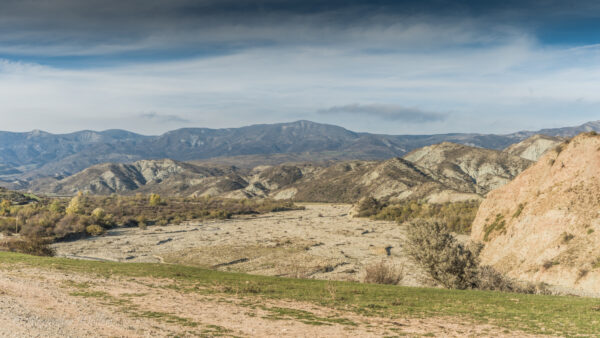
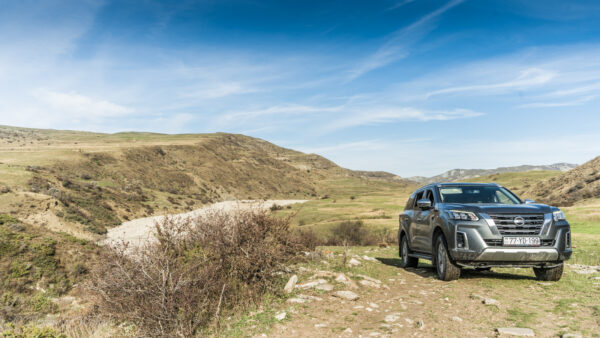
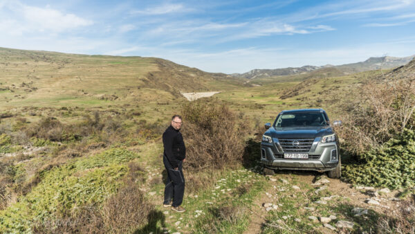
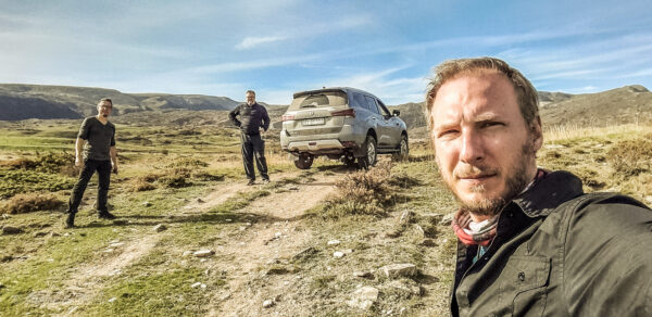
Finally, we’re leaving civilization behind, and the sun is shining again. Things couldn’t be better. We reach a riverbed that we have to cross. There’s no sign of a road anymore, and I’m trusting the satellite images, which show vehicle tracks on the other side.
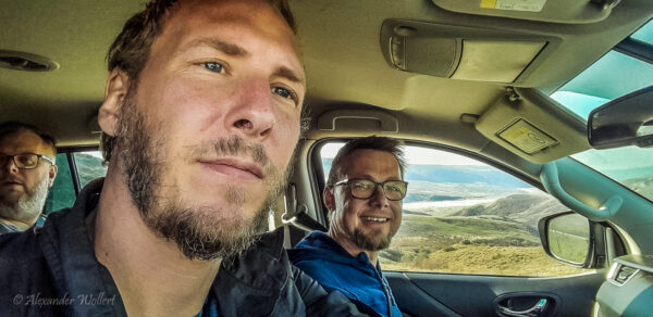
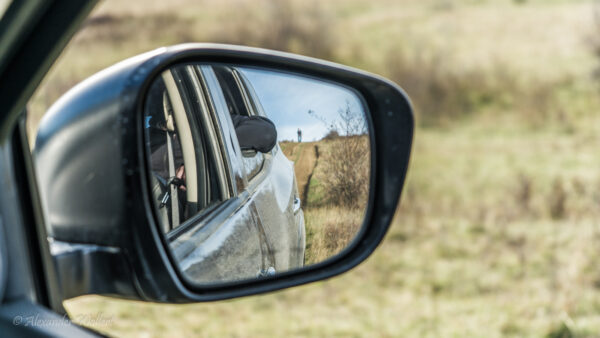
We need to be careful where we drive so we don’t get stuck on any large boulders. A big boulder could cause us serious problems. The two boys are checking from both sides for safety.
I’m happy when there’s hardly any recognizable road left!
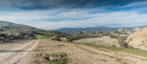
We’re winding our way back up the mountains along a very rutted track. If it gets muddy here, I don’t know how anyone could drive.
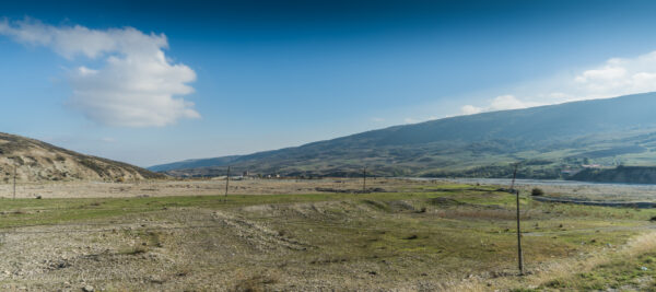
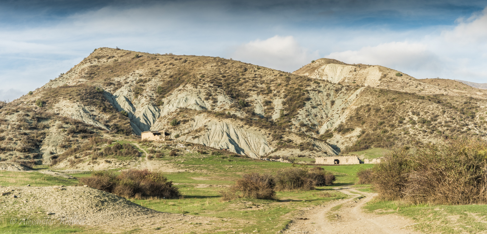
Crumbling walls testify that people once lived here. But we also see tracks from cars or tractors, so someone does pass by occasionally.
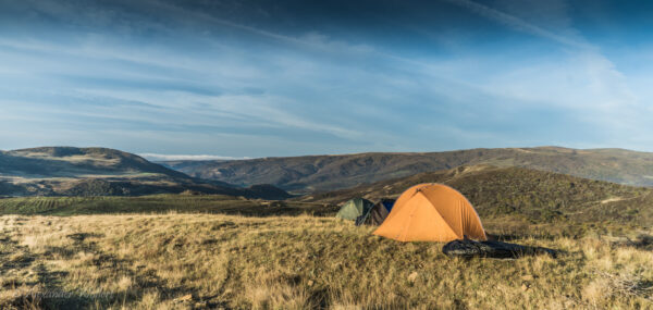
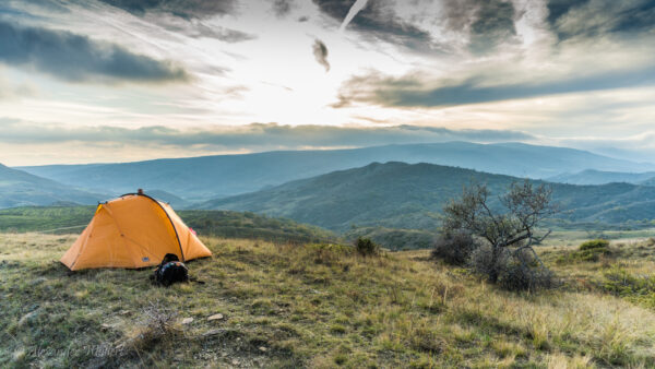
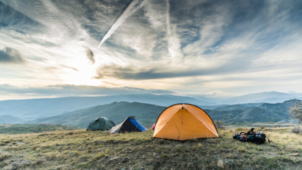
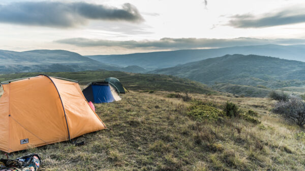
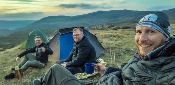
Around five o’clock in the afternoon we decide to set up camp so that we have enough time to eat and watch the sunset.
Two hours later it will be dark. The sun sets quickly and then it will also be cold.
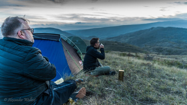
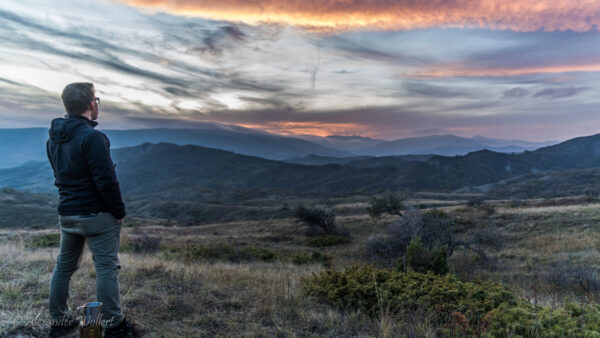
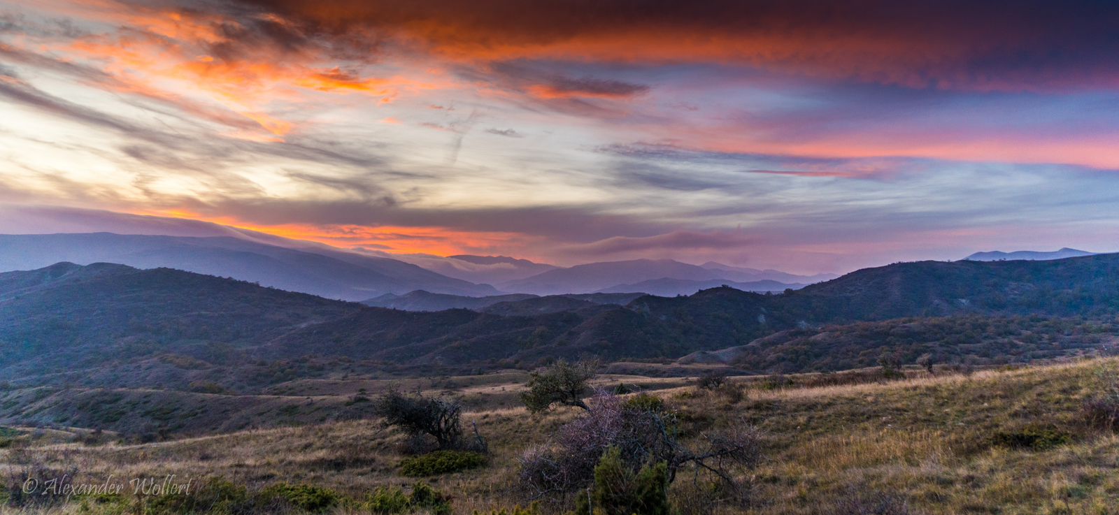
We opt for a well-situated slope with a reasonably level surface and a fantastic 360-degree view.
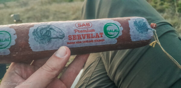
We end the day there with whisky and sheep salami, facing a rather cold night in the tent.
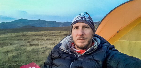
The cold of the night still clung to my bones when I woke up in the tent in the morning. It had gotten quite frosty. The emergency blanket from a car first-aid kit worked wonders, as always.
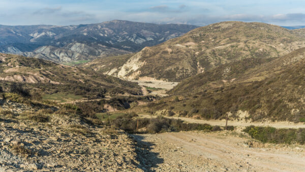
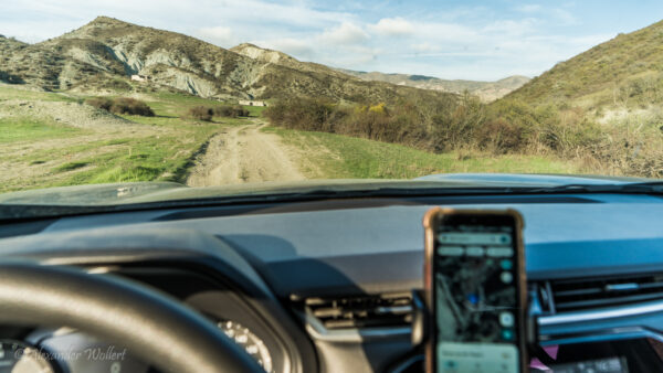
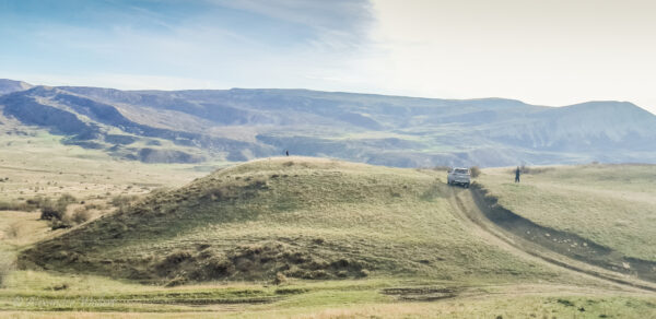
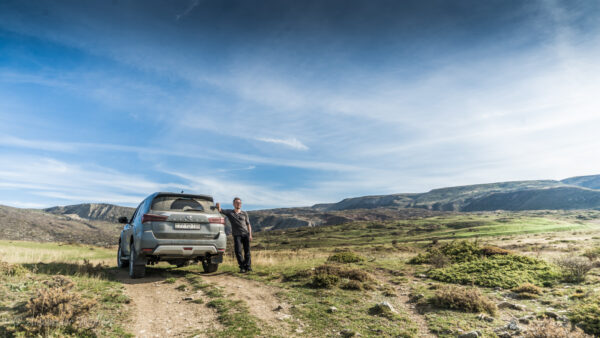
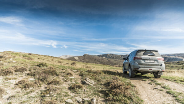
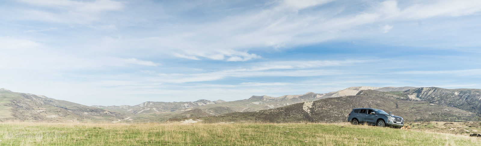
We repack the car and continue our journey over the mountains. The road becomes significantly rougher and very steep.
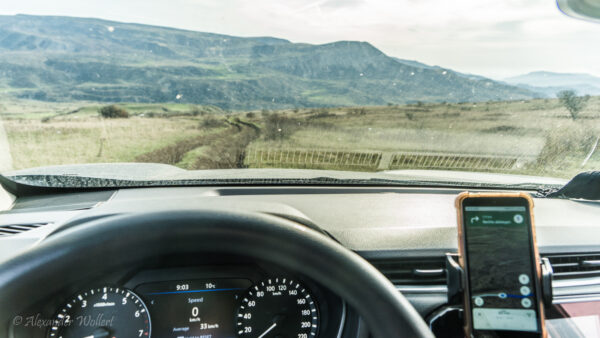
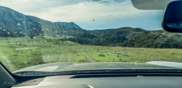
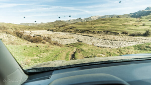
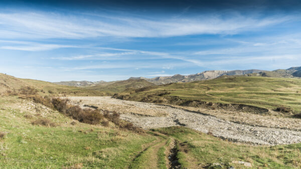
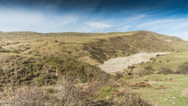
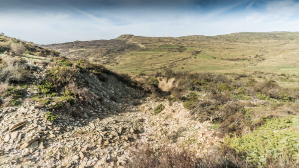
At some point, even the satellite images make it impossible to tell where the path actually goes. Is it a riverbed, a sheep track, or a proper road suitable for a car?
Once I make the wrong decision and we end up in a thicket in front of large boulders on a small but steep slope. With great concentration, I reverse back.
We reach a small stream that isn’t deep but looks very muddy. We discuss our options. An old shepherd watches us curiously. We decide to throw large, flat stones into the murky water as a precaution. There are plenty of them around. Then I get into the car by myself and venture into the mud.
The car swerves a bit and three of the four tires spin, but we manage. On the other bank, although it’s very steep, I dig the off-road vehicle out again. I have the impression that the stones saved us a lot of trouble here.
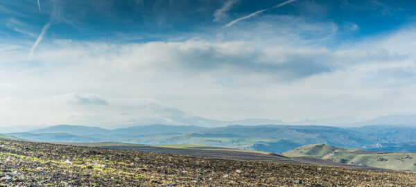
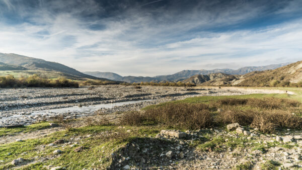
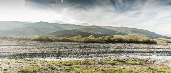
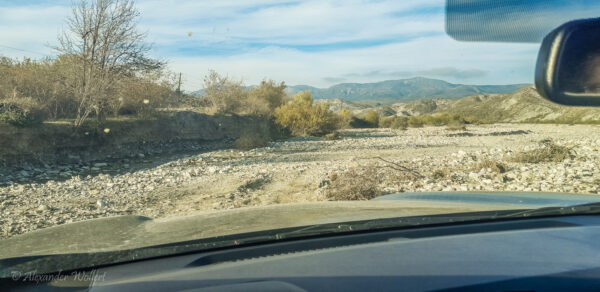
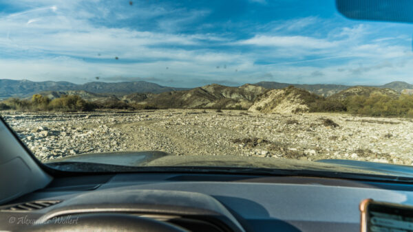
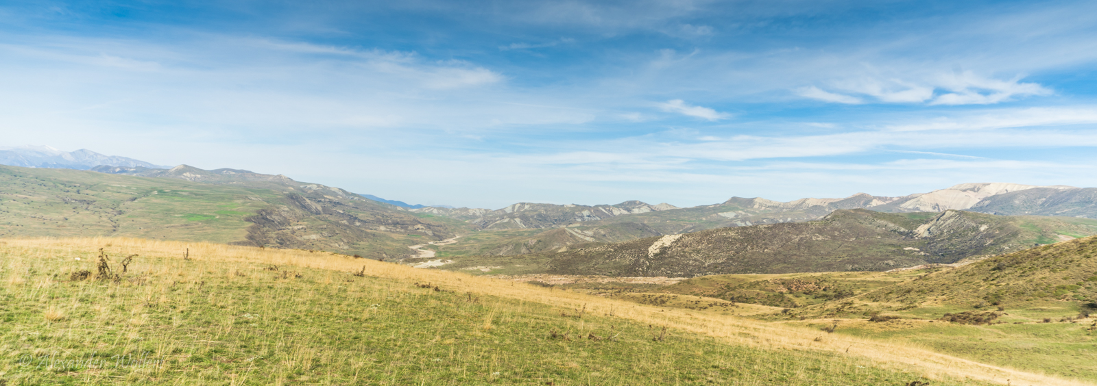
We still have to cross another river. It’s large, but the water level is low. I have to keep my distance from the large boulders.
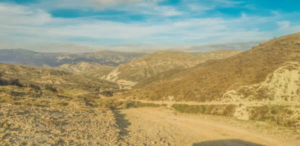
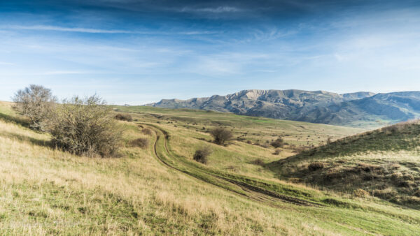
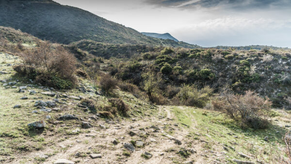
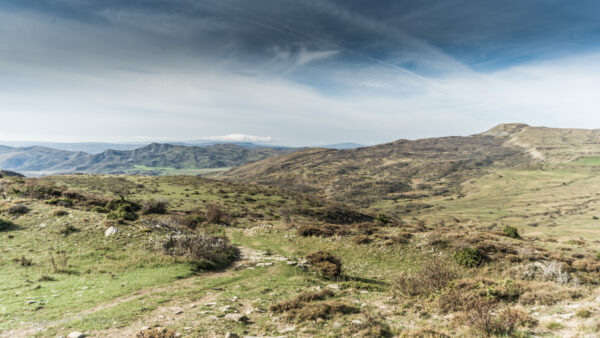
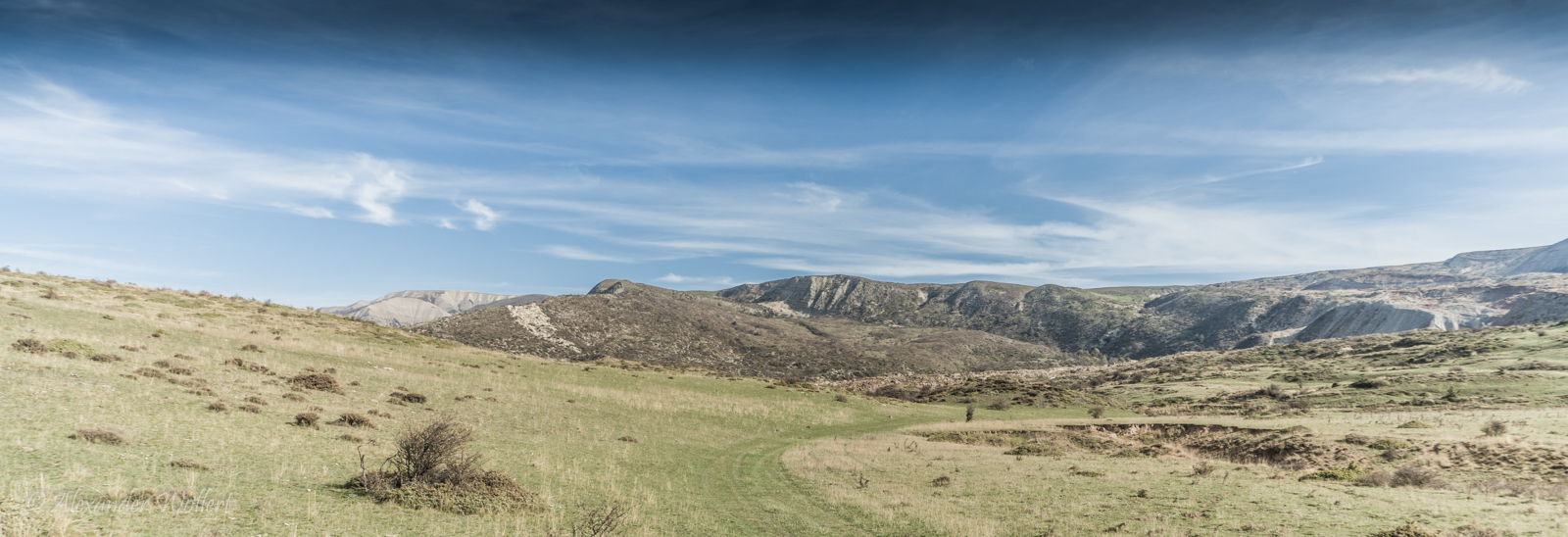
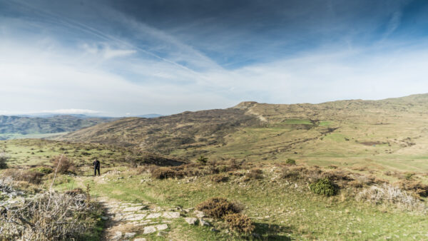
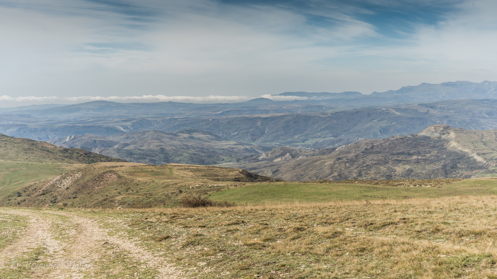
Beyond the river, the trail climbs very steeply. The path is often indistinct, reduced to a faint outline in the grass or among the scree.
Only satellite photos can help me here. Uwe and Chris have to help when I have to drive backwards down a slope again. Unfortunately, bushes scratch our previously flawless paintwork.
It turns out that a less obvious path was the right one, but it leads us almost vertically up the mountain.
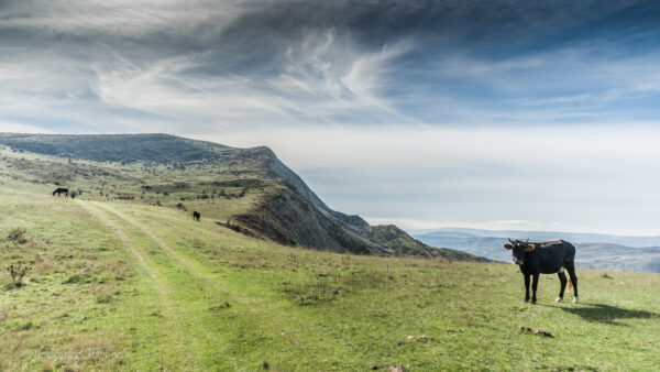
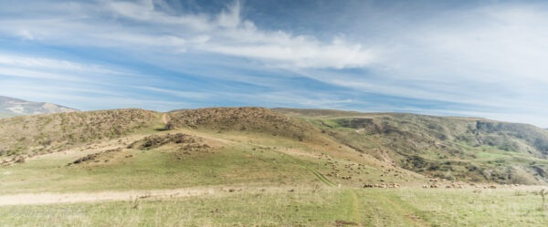
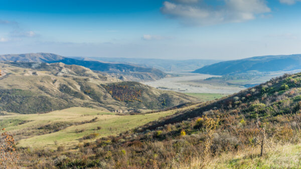
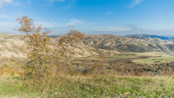
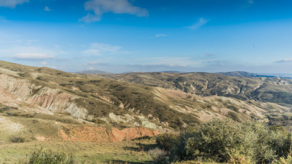
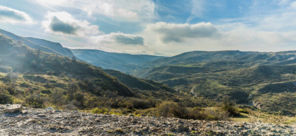
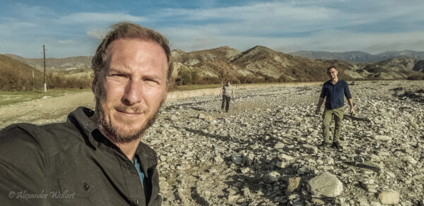
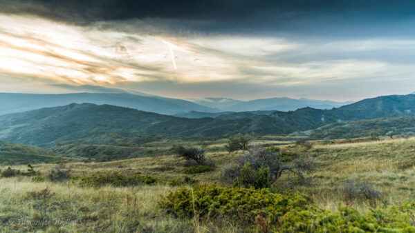
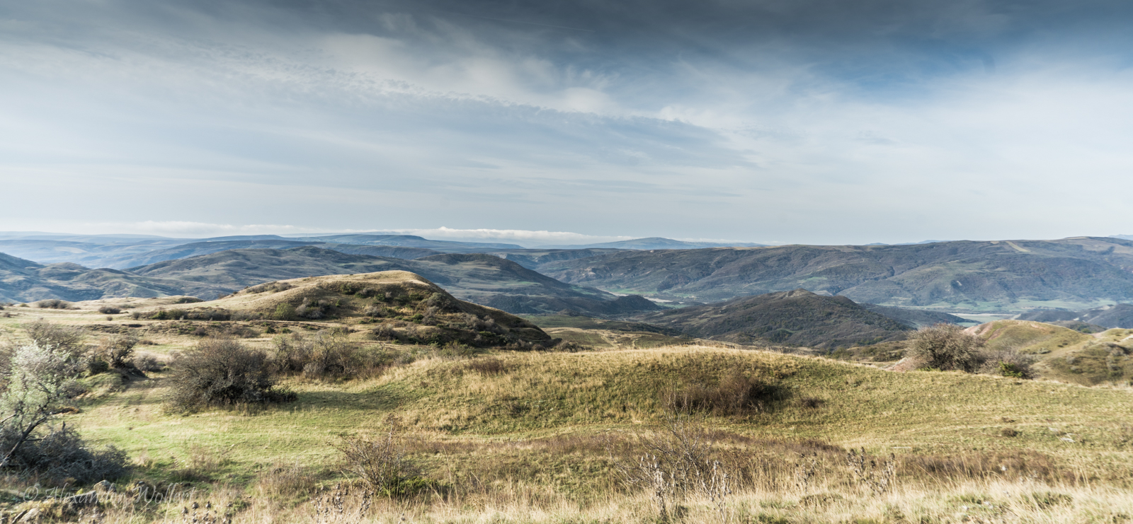
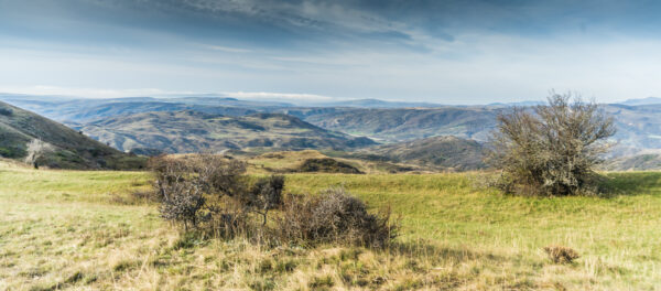
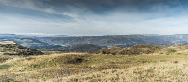
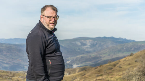
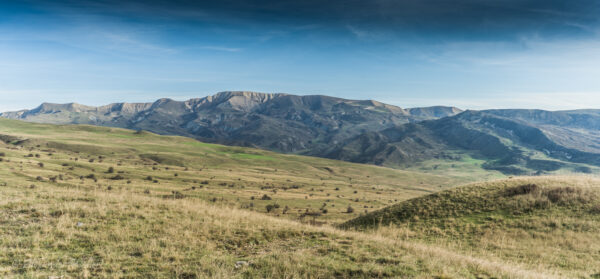
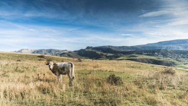
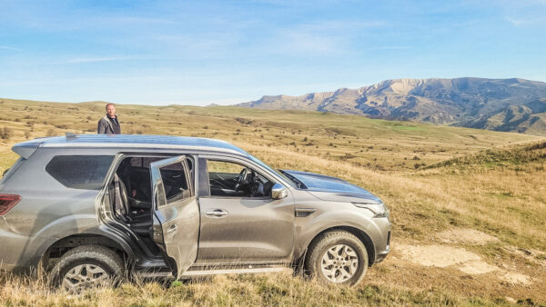
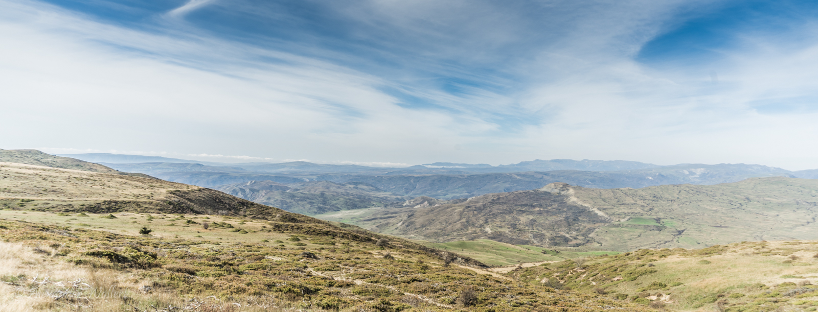
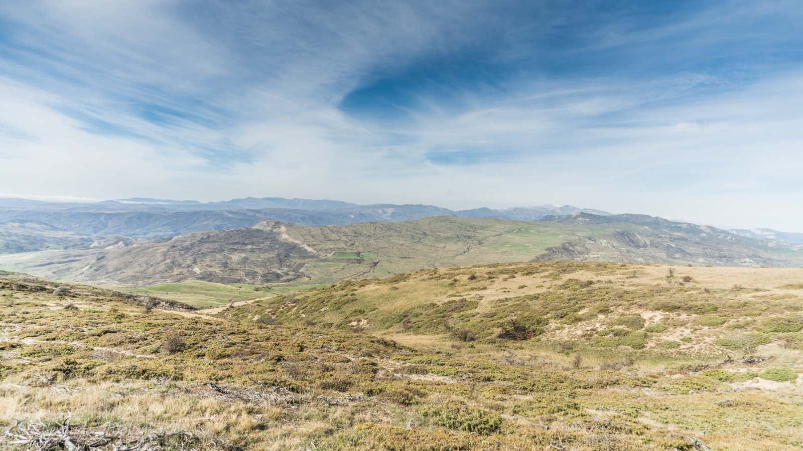
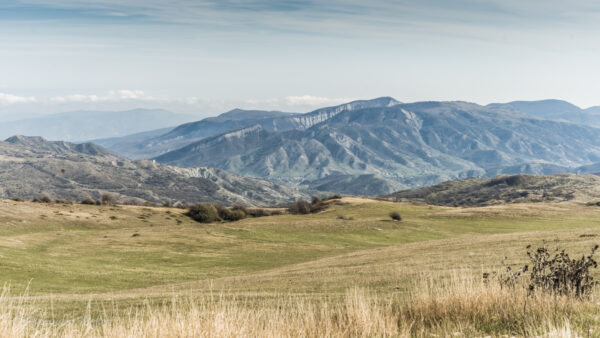
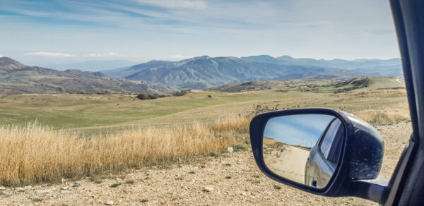
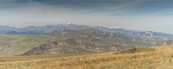
The scenery and the weather are perfect for us.
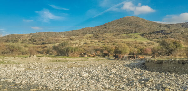
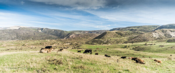
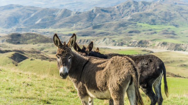
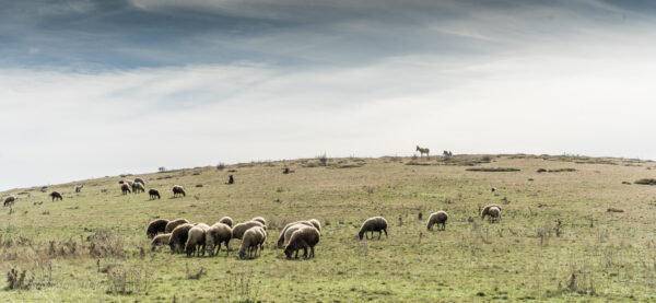
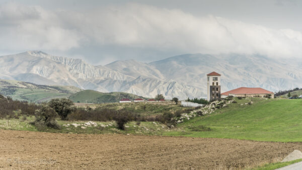
We reach an altitude from which we can admire the vast mountain panorama of the Caucasus. Along the way, we also pass flocks of sheep accompanied by sheepdogs with long iron spikes on their collars.
These dogs not only have to keep their flock together, but also defend it against overwhelming numbers of wolves and bears. They can tear people like us to pieces in mid-air.
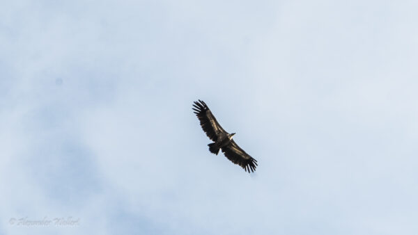
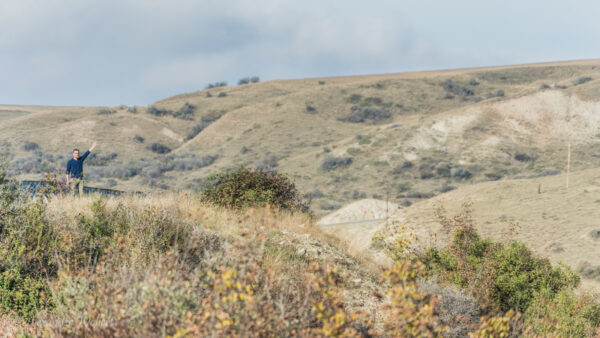
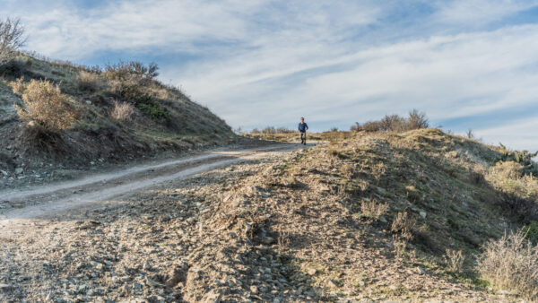
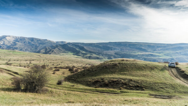
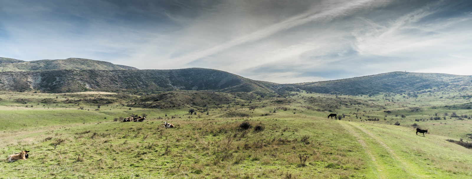
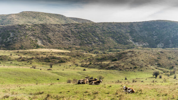
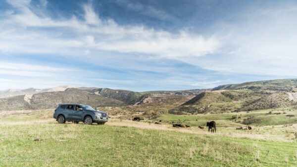
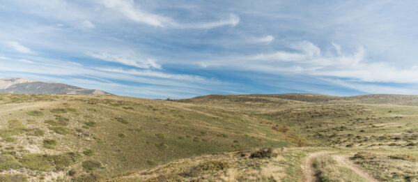
It’s a lot of fun, though, and the view is amazing. Eventually, the route becomes easier again, and we see more flocks of sheep and vultures circling overhead.
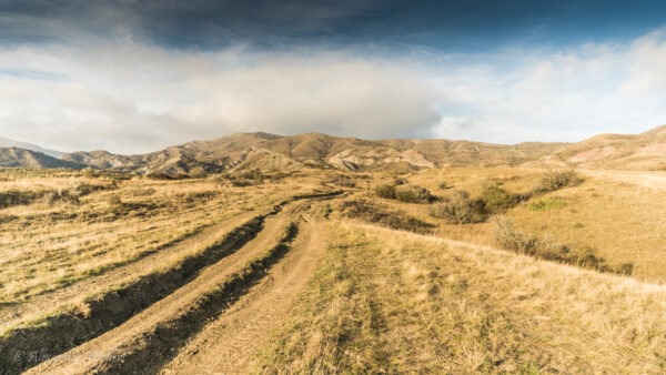
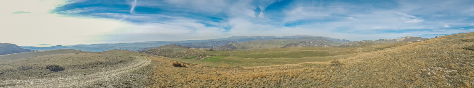
Now the slope resembles a relaxed Sunday stroll again and gives no hint of the hardships we had previously endured in the terrain.
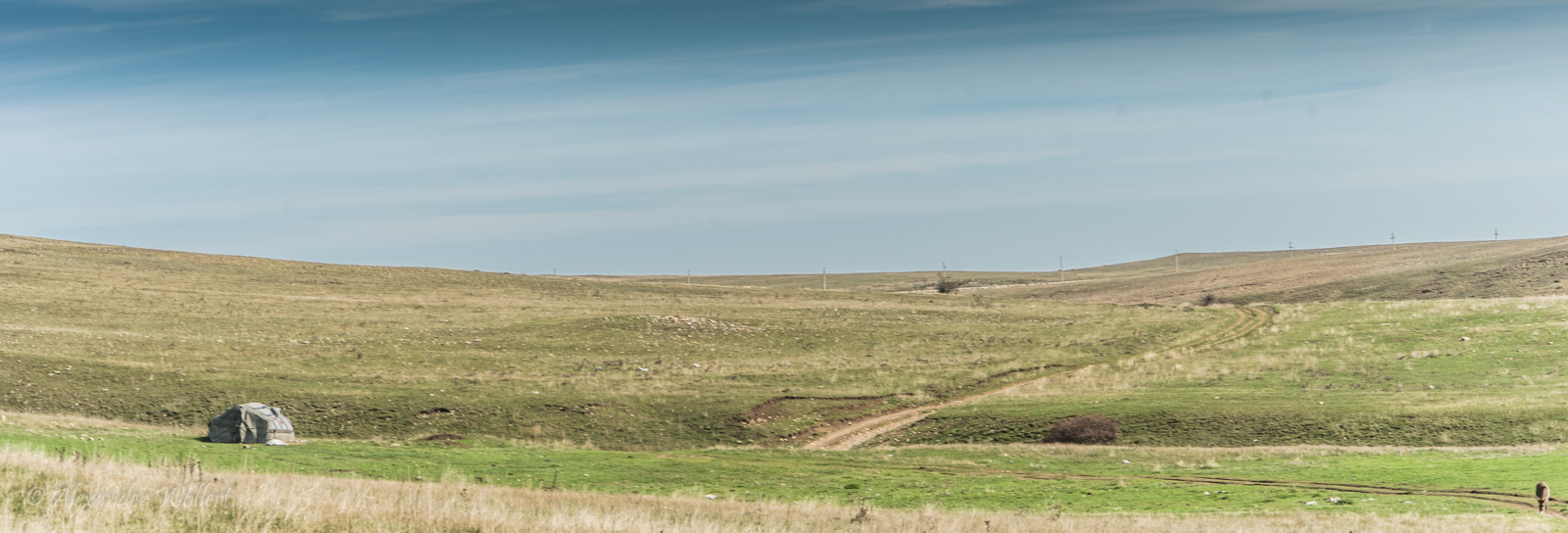
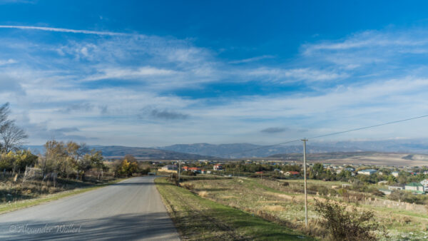
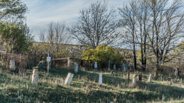
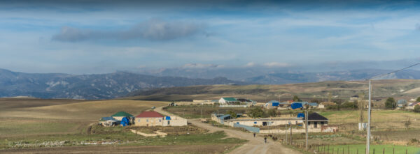
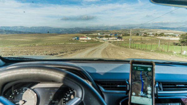
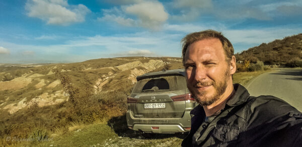
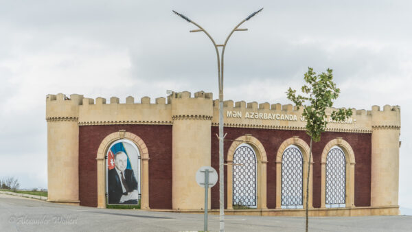
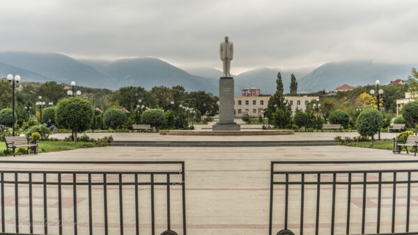
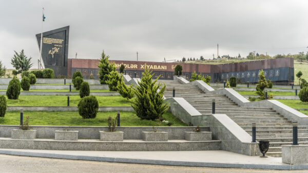
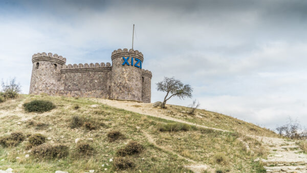
In the distance, we first spot a shepherd’s yurt, then even power lines. After that, we find a road again. We follow it, enjoying the magnificent view, until we reach the small town of Xizi. Although the town is small, it’s presented in a very grand manner. Naturally, there are a few artificial castles featuring our friend Heydar Aliyev. Then there’s a huge military cemetery and another large park with an equally enormous statue of Heydar. We pull the car over to the side of the road in front of this park to take a photo.
Nobody is walking around in this park or on the streets, except for an old man who stops to talk to us. He starts talking to us in Azerbaijani, Turkish, and Russian, and can see from our blank faces that we don’t understand a thing. He tries harder in Russian because I nod a bit more often and at least catch a word or two. It seems he’s giving a scathing speech about his head of state, repeatedly using the word “fascist.”
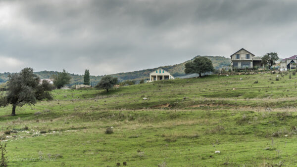
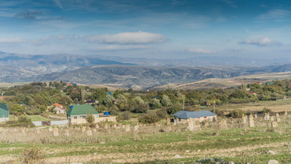
We leave the small village of Xizi and enter the Altiaghach region, which is home to a national park. I therefore expect increased tourism. On the map, I see several places where guided tours are supposed to depart. In reality, however, I see no tourist center, but rather a sleepy village, like all the others, with few people to be seen.
We drove through the town without any indication of what there was to see. The landscape we had driven through was certainly beautiful, but not a particular highlight of nature.
We leave the national park unimpressed and find a single restaurant open enough to heat up the kitchen for us for breakfast while we dry our tents in the dull sunlight.
We made it and found a passage through the mountains. We can now head north again, where we’ll encounter the city of Quba, the Five Finger Mountains, and plenty of rain. But first, the Candy Cane Mountains await us.
